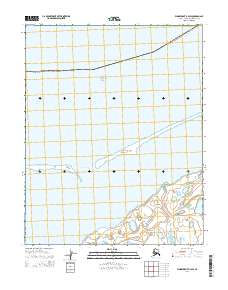
2014 Map of Wainwright B-4 SW
USGS Topo · Published 2014About this map
Chukchi Sea waters dominate the northern extent of this coastal reach within the North Slope Borough. The landscape is defined by the narrow, shifting barrier islands that separate the open sea from the protected waters of Kasegaluk Lagoon. This delicate marine environment is punctuated by Akoliakatat Pass, a vital break in the barrier sands that allows for the exchange of tides and nutrients. The inland terrain is a saturated coastal plain, marked by a complex network of thaw lakes and ponds typical of the Arctic slope, where land and water intermingle without high relief. This 2014 survey documents the precise configuration of these coastal landforms and the extent of the lagoon system before further seasonal erosion or deposition alters the shoreline.
Find a feature on this map
10 named features on this map. Tap any name to fly to it.
Don’t see what you’re looking for? This feature index may not catch every label — zoom into the map to look around manually.
Map Details
Editions of this 2014 Wainwright B-4 SW Map
This is the sole edition of this map. No revisions or reprints were ever made.
Other maps of this area

1951 · Wainwright
USGS Topo · 1:250,000

1955 · Wainwright
USGS Topo · 1:250,000
1955 · Wainwright A-4
USGS Topo · 1:63,360
1955 · Wainwright B-4
USGS Topo · 1:63,360
1955 · Wainwright A-5
USGS Topo · 1:63,360
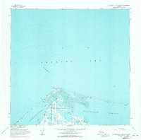
1955 · Wainwright B-5 and B-6
USGS Topo · 1:63,360

1964 · Wainwright
USGS Topo · 1:250,000
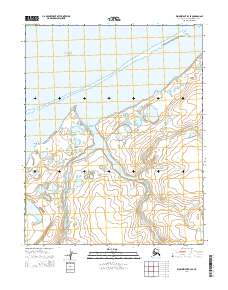
2014 · Wainwright B-4 SE
USGS Topo · 1:25,000
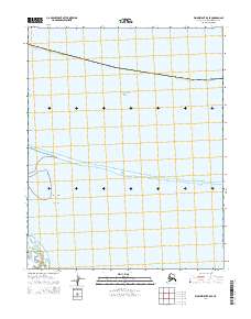
2014 · Wainwright B-5 SE
USGS Topo · 1:25,000
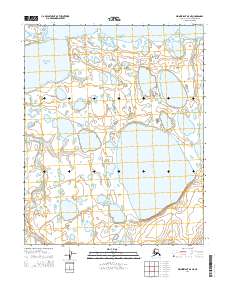
2014 · Wainwright A-5 NE
USGS Topo · 1:25,000