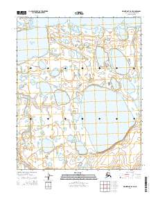
2014 Map of Wainwright A-5 NE
USGS Topo · Published 2014About this map
The Chukchi Sea coastline defines this portion of the North Slope, where the arctic waters meet the barrier islands and sheltered reaches of Kasegaluk Lagoon. Inland from the coast, the landscape is dominated by the massive Sikolik Lake and a dense network of smaller thaw lakes typical of the permafrost environment. The Tunalik River meanders across the southwestern corner of the quadrangle, draining through the coastal plain toward the sea.
Find a feature on this map
9 named features on this map. Tap any name to fly to it.
Don’t see what you’re looking for? This feature index may not catch every label — zoom into the map to look around manually.
Map Details
Editions of this 2014 Wainwright A-5 NE Map
This is the sole edition of this map. No revisions or reprints were ever made.
Other maps of this area

1951 · Wainwright
USGS Topo · 1:250,000

1955 · Wainwright
USGS Topo · 1:250,000
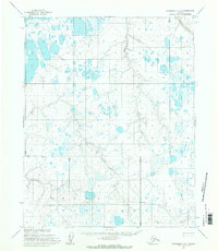
1955 · Wainwright A-4
USGS Topo · 1:63,360
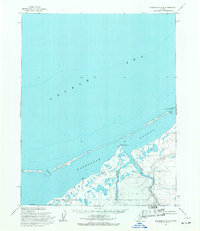
1955 · Wainwright B-4
USGS Topo · 1:63,360
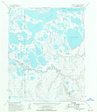
1955 · Wainwright A-5
USGS Topo · 1:63,360
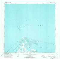
1955 · Wainwright B-5 and B-6
USGS Topo · 1:63,360

1964 · Wainwright
USGS Topo · 1:250,000
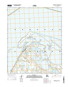
2014 · Wainwright B-5 SW
USGS Topo · 1:25,000
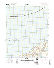
2014 · Wainwright B-4 SW
USGS Topo · 1:25,000
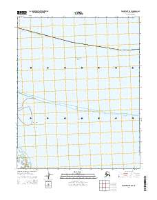
2014 · Wainwright B-5 SE
USGS Topo · 1:25,000