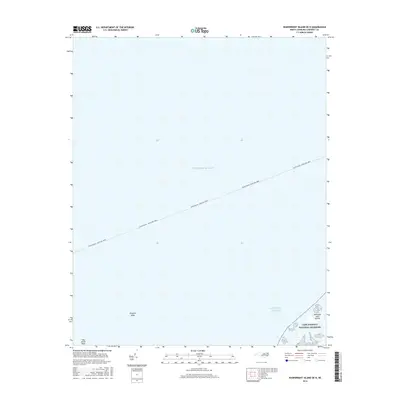
2016 Map of Wainwright Island OE N
USGS Topo · Published 2016About this map
The Atlantic Ocean dominates this coastal survey, where maritime navigation routes and submerged hazards define the character of the waters off the North Carolina coast. A primary transit line for the Cedar Island - Ocracoke Ferry cuts diagonally across the open sea, marking the vital connection between the mainland and the Outer Banks. At the southern edge of the map, the northernmost reaches of the Cape Lookout National Seashore appear, protecting the fragile barrier island ecosystem including the Kathryne Jane Islands. This 2016 record from the U.S. Geological Survey provides a precise view of the shoaling environment, identifying underwater features such as Kingfish Shoal and Hog Island Reef that have challenged mariners in these waters for centuries.
Find a feature on this map
6 named features on this map. Tap any name to fly to it.
Don’t see what you’re looking for? This feature index may not catch every label — zoom into the map to look around manually.
Map Details
Editions of this 2016 Wainwright Island OE N Map
This is the sole edition of this map. No revisions or reprints were ever made.
Other maps of this area

1948 · Portsmouth
USGS Topo · 1:24,000

1948 · North Bay
USGS Topo · 1:24,000

1949 · Atlantic
USGS Topo · 1:24,000

1950 · Portsmouth
USGS Topo · 1:24,000

1950 · North Bay
USGS Topo · 1:24,000
1951 · Atlantic
USGS Topo · 1:24,000

1953 · Rocky Mount
USGS Topo · 1:250,000

1953 · Beaufort
USGS Topo · 1:250,000

1954 · Rocky Mount
USGS Topo · 1:250,000

1954 · Beaufort
USGS Topo · 1:250,000