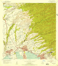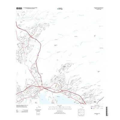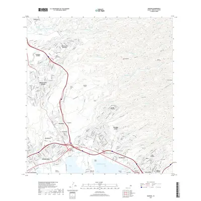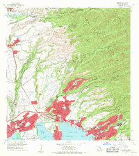
1968 Map of Waipahu
USGS Topo · Published 1971About this map
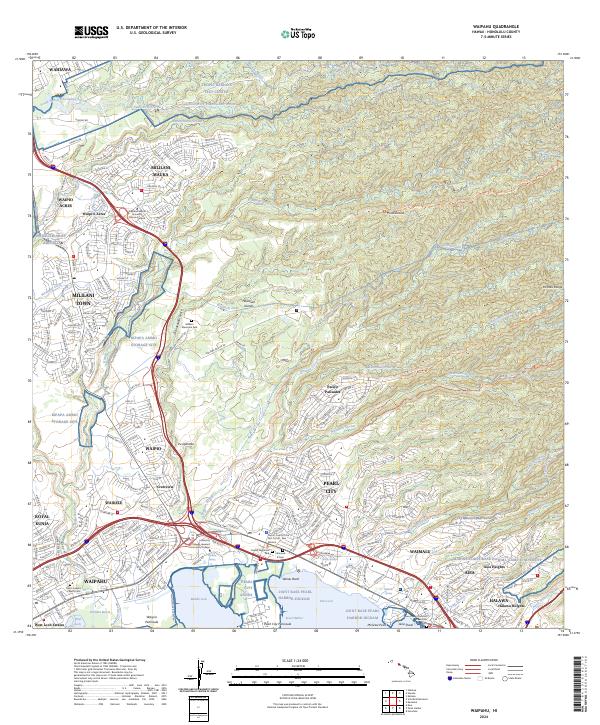
Waipahu, Pearl City, and Aiea dominate the northern shores of Pearl Harbor in this late 1960s survey, illustrating the rapid post-war urbanization of Oahu. The landscape transition is starkly visible as residential developments like Mililani Town and Pacific Palisades expand into lands formerly defined by agriculture and military use. The influence of the plantation era remains tangible through features like the Sugar Mill in Waipahu and the Hawaiian Sugar Planters Association on the Waipio Peninsula.
Find a feature on this map
73 named features on this map. Tap any name to fly to it.
Don’t see what you’re looking for? This feature index may not catch every label — zoom into the map to look around manually.
Map Details
Editions of this 1968 Waipahu Map
This is the sole edition of this map. No revisions or reprints were ever made.
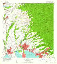
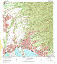
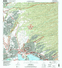
Historical Maps of Waipahu Through Time
8 maps found