
1967 Map of Waitsburg NW
USGS Topo · Published 1971About this map
The county line between Walla Walla County and Columbia County divides this high-plateau landscape, characterized by steep drainage systems and isolated water sources. Named landmarks like Graveyard Hill and Fields Gulch define the local topography, while the presence of an Old RR Grade cutting through the terrain indicates a former corridor of transit that had already been superseded by the late 1960s.
Find a feature on this map
15 named features on this map. Tap any name to fly to it.
Don’t see what you’re looking for? This feature index may not catch every label — zoom into the map to look around manually.
Map Details
Editions of this 1967 Waitsburg NW Map
This is the sole edition of this map. No revisions or reprints were ever made.
Other maps of this area

1919 · Walla Walla
USGS Topo · 1:125,000

1921 · Walla Walla
USGS Topo · 1:125,000

1948 · Starbuck
USGS Topo · 1:62,500

1948 · Ayer
USGS Topo · 1:62,500

1950 · Starbuck
USGS Topo · 1:62,500

1950 · Haas
USGS Topo · 1:62,500

1953 · Walla Walla
USGS Topo · 1:250,000

1958 · Walla Walla
USGS Topo · 1:250,000
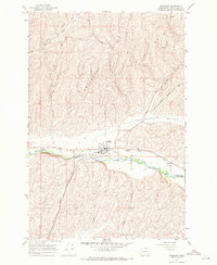
1967 · Prescott
USGS Topo · 1:24,000
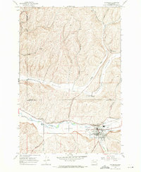
1967 · Waitsburg
USGS Topo · 1:24,000