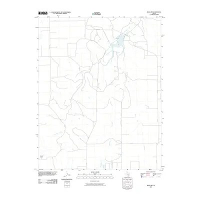
2010 Map of Waka SW
USGS Topo · Published 2010About this map
Palo Duro Creek and Horse Creek carve a network of drainage patterns across this section of the Texas Panhandle. The landscape is defined by the expansive Farwell Draw in the southwest, showing a terrain shaped more by water movement than dense settlement. As a digital-era topographic map, it illustrates the modern agricultural grid of Hansford County through a system of county roads including Co Rd J and Co Rd O. These routes, along with state-maintained roads like Fm 760 and Farm Rd 3214, connect the scattered farmsteads and rural properties that characterize this High Plains region. The map provides a clear look at the intersection of natural drainage and the rigid section-line road system used for decades in North Texas land management.
Find a feature on this map
11 named features on this map. Tap any name to fly to it.
Don’t see what you’re looking for? This feature index may not catch every label — zoom into the map to look around manually.
Map Details
Editions of this 2010 Waka SW Map
This is the sole edition of this map. No revisions or reprints were ever made.
Other maps of this area

1954 · Perryton
USGS Topo · 1:250,000

1958 · Perryton
USGS Topo · 1:250,000

1962 · Kimball
USGS Topo · 1:24,000

1962 · Hansford Camp
USGS Topo · 1:24,000

1962 · Hansford
USGS Topo · 1:24,000

1962 · Waka SW
USGS Topo · 1:24,000

1962 · Spearman
USGS Topo · 1:24,000

1973 · Horseshoe Hill
USGS Topo · 1:24,000

1973 · Waka
USGS Topo · 1:24,000

1973 · Spearman NE
USGS Topo · 1:24,000