
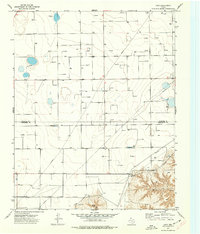
1962 Map of Hansford
USGS Topo · Published 1965About this map
Palo Duro Creek carves a deep, dendritic drainage system across this High Plains landscape, revealing a territory defined by the energy and transport infrastructure of the early 1960s. The settlement of Hansford sits atop the northern bluffs, marked by local landmarks like the Hansford Cem and a Water Tank. To the south, the industrial character of the region is evident in the sprawling Hansford Gas and Oil Field, where numerous well sites dot the terrain between the creek’s winding branches. The lower portion of the map is dominated by the Panhandle and Santa Fe railroad line, which passes through Mc Kibben near a series of Storage Bins. This alignment of rail and resource extraction illustrates the mid-century economic engine of the Texas Panhandle, supported by smaller operations like a local Gravel Pit and Claypit.
Find a feature on this map
12 named features on this map. Tap any name to fly to it.
Don’t see what you’re looking for? This feature index may not catch every label — zoom into the map to look around manually.
Map Details
Editions of this 1962 Hansford Map
This is the sole edition of this map. No revisions or reprints were ever made.
Other maps of this area

1954 · Perryton
USGS Topo · 1:250,000

1958 · Perryton
USGS Topo · 1:250,000

1962 · Kimball
USGS Topo · 1:24,000

1962 · Waka SW
USGS Topo · 1:24,000

1962 · Spearman
USGS Topo · 1:24,000

1973 · Gruver
USGS Topo · 1:24,000

1974 · Morse
USGS Topo · 1:24,000

1974 · Hannas Draw East
USGS Topo · 1:24,000
1974 · Holt
USGS Topo · 1:24,000
1974 · Morse SE
USGS Topo · 1:24,000