
1974 Map of Hannas Draw East
USGS Topo · Published 1977About this map
Palo Duro Creek carves a deep, dendritic drainage system through this portion of the Texas Panhandle, contrasting sharply with the flat, industrialized uplands above the rim. In the mid-1970s, the landscape was defined by an extensive network of energy extraction, dotted with numerous Gas Well and Well sites connected by unimproved roads and pipelines. This survey captures the rural infrastructure of Hansford County, where the Chicago Rock Island and Pacific railroad cuts a straight diagonal across the northern plains toward the settlement of Gandy. Local recreational and utility sites, such as the Rodeo Ground in the northeast corner and a Roadside Park near the creek, suggest a community centered around the intersection of ranching traditions and the modern oil and gas economy. The terrain transitions from the high plains down to the riparian floor of Hannas Draw, revealing the complex topography often hidden beneath the surface of the Llano Estacado.
Find a feature on this map
10 named features on this map. Tap any name to fly to it.
Don’t see what you’re looking for? This feature index may not catch every label — zoom into the map to look around manually.
Map Details
Editions of this 1974 Hannas Draw East Map
This is the sole edition of this map. No revisions or reprints were ever made.
Other maps of this area

1954 · Perryton
USGS Topo · 1:250,000

1958 · Perryton
USGS Topo · 1:250,000

1962 · Kimball
USGS Topo · 1:24,000

1962 · Hansford
USGS Topo · 1:24,000

1973 · Gruver
USGS Topo · 1:24,000

1974 · Morse
USGS Topo · 1:24,000
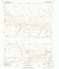
1974 · Capps Switch SE
USGS Topo · 1:24,000

1974 · Sunray 1 SE
USGS Topo · 1:24,000

1974 · Hannas Draw West
USGS Topo · 1:24,000
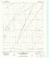
1974 · Morse SE
USGS Topo · 1:24,000