
1974 Map of Morse
USGS Topo · Published 1977About this map
Palo Duro Creek and its major tributaries, North Palo Duro Creek and South Palo Duro Creek, carve deep into the High Plains of the Texas Panhandle in this mid-1970s survey. The town of Morse serves as the primary settlement, positioned near the intersection of two major rail lines: the Chicago Rock Island and Pacific and the Atchison Topeka and Santa Fe. This rail connectivity, meeting at Morse Junction, highlights the area's role as a transport hub for agricultural and energy resources. Local genealogy and land use are documented through features such as the Lieb Cem and a small Landing Strip south of town. The landscape is also marked by numerous gas wells and gravel pits, reflecting the industrial character of the Hansford and Hutchinson County border region.
Find a feature on this map
16 named features on this map. Tap any name to fly to it.
Don’t see what you’re looking for? This feature index may not catch every label — zoom into the map to look around manually.
Map Details
Editions of this 1974 Morse Map
This is the sole edition of this map. No revisions or reprints were ever made.
Other maps of this area

1953 · Stinnett Station
USGS Topo · 1:24,000

1953 · Pringle
USGS Topo · 1:24,000

1954 · Perryton
USGS Topo · 1:250,000

1954 · Amarillo
USGS Topo · 1:250,000

1958 · Perryton
USGS Topo · 1:250,000

1958 · Amarillo
USGS Topo · 1:250,000

1962 · Hansford
USGS Topo · 1:24,000
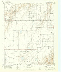
1974 · Pollard Creek NE
USGS Topo · 1:24,000

1974 · Hannas Draw East
USGS Topo · 1:24,000
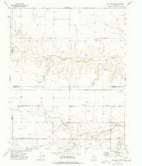
1974 · Capps Switch SE
USGS Topo · 1:24,000