
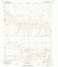
1974 Map of Hannas Draw West
USGS Topo · Published 1977About this map
The high plains of the Texas Panhandle meet the sharp relief of Hannas Draw in this mid-1970s survey. Spanning the county line between Sherman Co and Hansford Co, the landscape is defined by the extraction of energy and minerals. A complex network of Gas Wells and Oil Wells dots the terrain, connected by an extensive Pipeline infrastructure that traverses the region.
Find a feature on this map
11 named features on this map. Tap any name to fly to it.
Don’t see what you’re looking for? This feature index may not catch every label — zoom into the map to look around manually.
Map Details
Editions of this 1974 Hannas Draw West Map
This is the sole edition of this map. No revisions or reprints were ever made.
Other maps of this area

1954 · Perryton
USGS Topo · 1:250,000

1958 · Perryton
USGS Topo · 1:250,000

1972 · Capps Switch
USGS Topo · 1:24,000

1973 · Gruver
USGS Topo · 1:24,000

1974 · Morse
USGS Topo · 1:24,000

1974 · Hannas Draw East
USGS Topo · 1:24,000
1974 · Capps Switch SE
USGS Topo · 1:24,000

1974 · Sunray 1 SW
USGS Topo · 1:24,000

1974 · Sunray 1 SE
USGS Topo · 1:24,000

1974 · Capps Switch NW
USGS Topo · 1:24,000