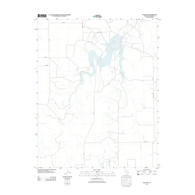
2012 Map of Waka SW
USGS Topo · Published 2012About this map
Palo Duro Reservoir serves as the central focal point of this Panhandle landscape, where the waters of Horse Cr are impounded within the rolling plains of Hansford County. This 2012 survey illustrates the modern configuration of the reservoir and the structured grid of rural infrastructure that supports the surrounding agricultural land. The map details a network of local thoroughfares including Farm Road 3214 and Ranch Road 3214, along with several designated county routes such as Co Road J and Co Road L. The sparse arrangement of structures and the prominence of drainage features like Horse Cr reflect the character of this high plains region, highlighting the importance of water management and transport connectivity in North Texas.
Find a feature on this map
13 named features on this map. Tap any name to fly to it.
Don’t see what you’re looking for? This feature index may not catch every label — zoom into the map to look around manually.
Map Details
Editions of this 2012 Waka SW Map
This is the sole edition of this map. No revisions or reprints were ever made.
Other maps of this area

1954 · Perryton
USGS Topo · 1:250,000

1958 · Perryton
USGS Topo · 1:250,000

1962 · Kimball
USGS Topo · 1:24,000

1962 · Hansford Camp
USGS Topo · 1:24,000

1962 · Hansford
USGS Topo · 1:24,000

1962 · Waka SW
USGS Topo · 1:24,000

1962 · Spearman
USGS Topo · 1:24,000

1973 · Horseshoe Hill
USGS Topo · 1:24,000

1973 · Waka
USGS Topo · 1:24,000

1973 · Spearman NE
USGS Topo · 1:24,000