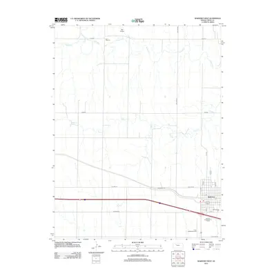
2012 Map of WaKeeney West
USGS Topo · Published 2012About this map
The high plains of Trego County center on the intersection of modern transit and prairie watercourses in this 2012 survey. WaKeeney sits at the nexus of the regional transportation network, where the historic Old Hwy 40 and Golden Belt Rd run parallel to the modern interstate corridor. The landscape is defined by the winding paths of Trego Cr and the Saline River, which carves through the northern reaches of the quadrangle near Hay Hollow. Local history and genealogy are anchored by two significant burial grounds: the Salina Valley Cem in the north and the WaKeeney City Cem on the southeastern edge of the settlement. The map documents contemporary land use including the Trego WaKeeney Airport and the WaKeeney Kampgrounds of America, illustrating the town's role as a key stopover for travelers on the Great Plains.
Find a feature on this map
26 named features on this map. Tap any name to fly to it.
Don’t see what you’re looking for? This feature index may not catch every label — zoom into the map to look around manually.
Map Details
Editions of this 2012 WaKeeney West Map
This is the sole edition of this map. No revisions or reprints were ever made.
Other maps of this area

1893 · Ellis
USGS Topo · 1:125,000

1893 · Hill
USGS Topo · 1:125,000

1954 · Goodland
USGS Topo · 1:250,000

1955 · Great Bend
USGS Topo · 1:250,000

1955 · Scott City
USGS Topo · 1:250,000

1955 · Beloit
USGS Topo · 1:250,000

1956 · Goodland
USGS Topo · 1:250,000

1957 · Goodland
USGS Topo · 1:250,000

1957 · Great Bend
USGS Topo · 1:250,000

1958 · Great Bend
USGS Topo · 1:250,000