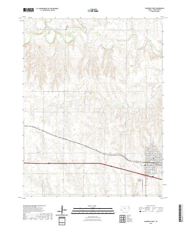
2022 Map of WaKeeney West
USGS Topo · Published 2022About this map
The Trego County Courthouse stands as the centerpiece of WaKeeney, a town defined by its grid-aligned streets like Warren Ave and Josephine Ave. This modern survey reveals the structured land management of the Kansas high plains, where section lines dictate the path of numbered roads such as B RD and J RD. The landscape is etched by the Saline River and its N Fork Saline River, which cut through the northern terrain near the Saline Valley Cem. These waterways, along with drainage systems like Trego Cr and Hay Hollow, provide a stark topographic contrast to the otherwise flat agricultural tracts. Transport routes follow historical patterns, including the path of Old Hwy 40 and the railroad corridor marked by Railroad Ave, illustrating the town's enduring role as a regional transit hub.
Find a feature on this map
32 named features on this map. Tap any name to fly to it.
Don’t see what you’re looking for? This feature index may not catch every label — zoom into the map to look around manually.
Map Details
Editions of this 2022 WaKeeney West Map
This is the sole edition of this map. No revisions or reprints were ever made.
Other maps of this area

1893 · Ellis
USGS Topo · 1:125,000

1893 · Hill
USGS Topo · 1:125,000

1954 · Goodland
USGS Topo · 1:250,000

1955 · Great Bend
USGS Topo · 1:250,000

1955 · Scott City
USGS Topo · 1:250,000

1955 · Beloit
USGS Topo · 1:250,000

1956 · Goodland
USGS Topo · 1:250,000

1957 · Goodland
USGS Topo · 1:250,000

1957 · Great Bend
USGS Topo · 1:250,000

1958 · Great Bend
USGS Topo · 1:250,000