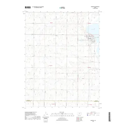
2018 Map of Wakefield
USGS Topo · Published 2018About this map
Wakefield sits along the western shoreline of Milford Lake, where the grid of the town meets the undulating terrain of the Kansas prairie. This 2018 survey documents a landscape defined by its agricultural sections and the prominent reservoir, showing the transition from upland fields to the water's edge. Family and local history is preserved at several burial grounds, including Highland Cem near the town center and the more isolated Madura Cem and Saint John's Cem. The township's rural character is maintained by an extensive network of range roads like Sunflower Rd and Osage Rd, while small water bodies such as Clay County Lake provide local landmarks. Tributaries like Quimby Cr and Cane Cr carve through the sections, eventually feeding the larger lake system that dominates the eastern portion of the quadrangle.
Find a feature on this map
56 named features on this map. Tap any name to fly to it.
Don’t see what you’re looking for? This feature index may not catch every label — zoom into the map to look around manually.
Map Details
Editions of this 2018 Wakefield Map
This is the sole edition of this map. No revisions or reprints were ever made.
Other maps of this area

1886 · Junction City
USGS Topo · 1:125,000

1889 · Junction City
USGS Topo · 1:125,000

1891 · Clay Center
USGS Topo · 1:125,000

1894 · Junction City
USGS Topo · 1:125,000

1947 · Fort Riley
USGS Topo · 1:62,500

1950 · Alida
USGS Topo · 1:24,000

1951 · Milford
USGS Topo · 1:24,000

1955 · Milford
USGS Topo · 1:24,000
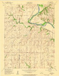
1955 · Alida
USGS Topo · 1:24,000

1955 · Manhattan
USGS Topo · 1:250,000