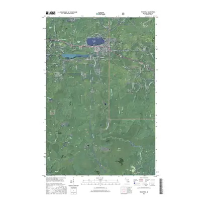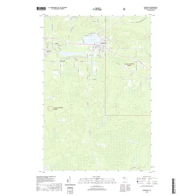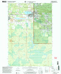
1999 Map of Wakefield
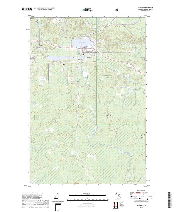
USGS Topo · Published 2004About this map
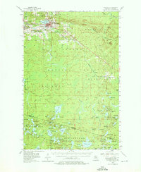
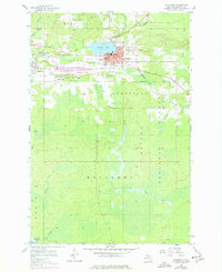
The Sunday Lake Mine and surrounding Mine Dumps define the industrial character of this landscape near the edge of the Ottawa National Forest. The city of Wakefield serves as the central hub, oriented around the waters of Sunday Lake. Evidence of civic development is visible in the presence of City Hall, the High Sch, and the Lakeside Cem, while the County Home at Wico and the community at Plymouth offer specific points of interest for genealogists tracing local families in the Bessemer Ranger District. Transport and utility infrastructure, including multiple pipelines, cross the terrain north of the Black River. The topography transitions from the developed mining corridors of Ramsay and Verona into the dense wooded areas and wetlands drained by McVichie Creek and Planter Creek.
Find a feature on this map
38 named features on this map. Tap any name to fly to it.
Don’t see what you’re looking for? This feature index may not catch every label — zoom into the map to look around manually.
Map Details
Editions of this 1999 Wakefield Map
This is the sole edition of this map. No revisions or reprints were ever made.
Historical Maps of Wakefield Through Time
9 maps found