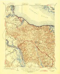
1932 Map of Wakefield
USGS Topo · Published 1945About this map
George Washington Birthplace National Monument sits at the heart of this coastal landscape, flanked by the Potomac River and Popes Creek. The geography of Westmoreland County is defined by its deep historical ties, evident in the numerous landings and wharves that served as vital transport nodes, such as Carters Wharf and Jones Landing. Inland, the terrain is dotted with small agricultural hubs and crossroads like Oak Grove and Montross, while the Kings Highway traces an ancient land route through the interior.
Find a feature on this map
92 named features on this map. Tap any name to fly to it.
Don’t see what you’re looking for? This feature index may not catch every label — zoom into the map to look around manually.
Map Details
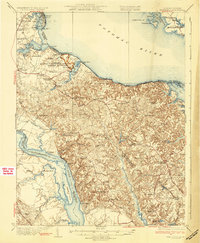
Editions of this 1932 Wakefield Map
2 editions found
Other maps of this area

1889 · Fredericksburg
USGS Topo · 1:125,000

1892 · Leonardtown
USGS Topo · 1:62,500

1892 · Fredericksburg
USGS Topo · 1:125,000

1892 · Piney Point
USGS Topo · 1:62,500

1892 · Montross
USGS Topo · 1:62,500

1894 · Wicomico
USGS Topo · 1:62,500

1894 · Fredericksburg
USGS Topo · 1:125,000

1894 · Piney Point
USGS Topo · 1:62,500

1895 · Wicomico
USGS Topo · 1:62,500

1895 · Leonardtown
USGS Topo · 1:62,500