1949 Map of Wakulla
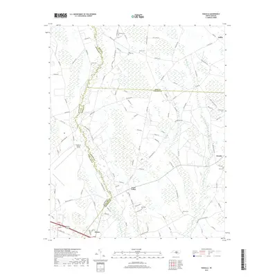
USGS Topo · Published 1983About this map
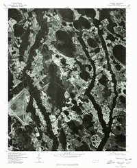
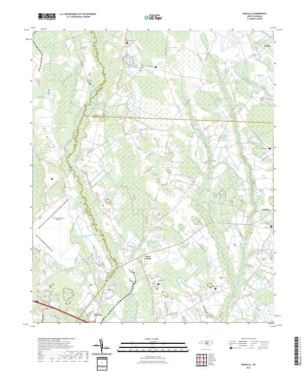
Lumber River and its dense network of swamps, including Gum Swamp and Jordan Swamp, define the landscape of Robeson County at the mid-century. This survey, based on 1948 aerial photography with 1981 revisions, documents a rural society deeply rooted in its local institutions. Numerous country churches and schools serve as community anchors, from Island Grove Ch and Centre Ch to the Cherokee Sch. The historic site of Floral College and the settlement of Wakulla sit near the tracks of the Seaboard Coast Line railroad, reflecting the era's reliance on rail transport. To the west, the extensive Laurinburg-Maxton Airport introduces a modern industrial scale to the otherwise agricultural and timbered terrain. The map is a significant resource for genealogists, recording numerous family burial grounds such as McPhalter Cem, McLean Cem, and Wilkinson Cem scattered among the farms.
Find a feature on this map
33 named features on this map. Tap any name to fly to it.
Don’t see what you’re looking for? This feature index may not catch every label — zoom into the map to look around manually.
Map Details
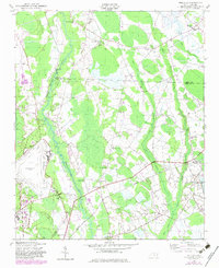
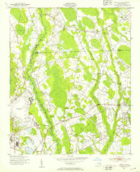
Editions of this 1949 Wakulla Map
2 editions found
Historical Maps of Maxton Through Time
7 maps found