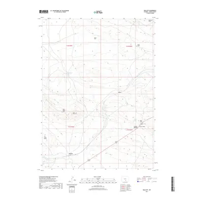
2017 Map of Walcott
USGS Topo · Published 2017About this map
The settlement of Walcott sits at the southern edge of this landscape, positioned along the winding course of Saint Marys Cr and the modern corridors of Highway 30 / 287. This region of Wyoming is defined by a series of distinct uplifted features, including Saint Marys Hill and the long, sloping profile of Dana Ridge. To the northwest, the Fort Steele Breaks indicate a shift toward more dissected terrain, while Point of Rocks Reservoir provides a scarce water resource in this arid environment.
Find a feature on this map
21 named features on this map. Tap any name to fly to it.
Don’t see what you’re looking for? This feature index may not catch every label — zoom into the map to look around manually.
Map Details
Editions of this 2017 Walcott Map
This is the sole edition of this map. No revisions or reprints were ever made.
Other maps of this area

1893 · Fort Steele
USGS Topo · 1:125,000

1914 · Hanna
USGS Topo · 1:62,500

1914 · Walcott
USGS Topo · 1:62,500

1954 · Rawlins
USGS Topo · 1:250,000

1955 · Coal Bank Basin
USGS Topo · 1:24,000

1955 · Meads
USGS Topo · 1:24,000

1955 · Savage Ranch
USGS Topo · 1:24,000

1958 · Rawlins
USGS Topo · 1:250,000

1962 · Rawlins
USGS Topo · 1:250,000

1967 · Rawlins
USGS Topo · 1:250,000