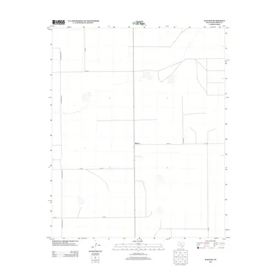
2012 Map of Walcott
USGS Topo · Published 2012About this map
Walcott stands as a focal point in the High Plains of the Texas Panhandle, positioned within the structured agricultural landscape of Deaf Smith County. The 2012 survey illustrates a region defined by its rigid section lines and a network of county roads designed for large-scale ranching and farming operations. The name Co Road Railroad hints at the historical transportation corridors that once stitched this portion of West Texas together, while names like Co Road QQ and Co Rd R reflect the distinct alphanumeric naming conventions of the county. Large depression basins or playas dot the terrain, showing the natural drainage patterns of this high prairie environment. The map captures the quiet, rural character of the area, where the vastness of the plains is organized by routes like 12th Rd and 13th Rd.
Find a feature on this map
12 named features on this map. Tap any name to fly to it.
Don’t see what you’re looking for? This feature index may not catch every label — zoom into the map to look around manually.
Map Details
Editions of this 2012 Walcott Map
This is the sole edition of this map. No revisions or reprints were ever made.
Other maps of this area

1954 · Tucumcari
USGS Topo · 1:250,000

1954 · Clovis
USGS Topo · 1:250,000

1958 · Clovis
USGS Topo · 1:250,000

1958 · Tucumcari
USGS Topo · 1:250,000

1966 · Simms
USGS Topo · 1:24,000

1966 · Sand Point
USGS Topo · 1:24,000

1966 · Norton Lake
USGS Topo · 1:24,000

1970 · Chalk Hill
USGS Topo · 1:24,000

1971 · Mustang Lake
USGS Topo · 1:24,000

1971 · Bootleg
USGS Topo · 1:24,000