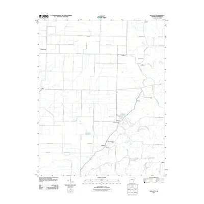
2011 Map of Walcott
USGS Topo · Published 2011About this map
Walcott and the rural stretches of Greene County are depicted in this 2011 survey, showing a landscape defined by small crossroads settlements and agricultural drainage patterns. The community of Ebenezer serves as a southern anchor, located near the Mount Zion Baptist Camp and the accompanying Mount Zion Cemetery. To the north, the small village of Stanford and the crossing at Light mark the transition toward the drainage network of the Main Ditch, a vital piece of water management for the surrounding farmland.
Find a feature on this map
67 named features on this map. Tap any name to fly to it.
Don’t see what you’re looking for? This feature index may not catch every label — zoom into the map to look around manually.
Map Details
Editions of this 2011 Walcott Map
This is the sole edition of this map. No revisions or reprints were ever made.
Other maps of this area

1932 · Walnut Ridge
USGS Topo · 1:62,500

1935 · Sedgwick
USGS Topo · 1:62,500

1935 · Walnut Ridge
USGS Topo · 1:62,500

1939 · Jonesboro
USGS Topo · 1:62,500

1940 · Gainesville
USGS Topo · 1:62,500

1953 · Memphis
USGS Topo · 1:250,000

1956 · Memphis
USGS Topo · 1:250,000

1957 · Poplar Bluff
USGS Topo · 1:250,000

1958 · Jonesboro
USGS Topo · 1:62,500

1958 · Gainesville
USGS Topo · 1:62,500