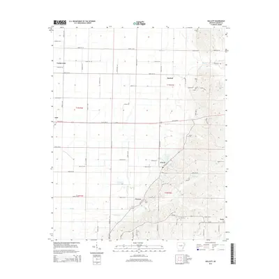
2014 Map of Walcott
USGS Topo · Published 2014About this map
The agrarian landscape of Greene County is defined here by the distinct transition from the flat bottomlands of the west to the elevated terrain of Crowley's Ridge in the east. Walcott Lake serves as a central landmark near the settlement of Walcott, where the topography begins its sharp rise. This area is characterized by a dense network of section-line roads, such as Greene 211 Rd and Greene 203 Rd, which serve small communities including Stanford, Light, and Faulknerville.
Find a feature on this map
73 named features on this map. Tap any name to fly to it.
Don’t see what you’re looking for? This feature index may not catch every label — zoom into the map to look around manually.
Map Details
Editions of this 2014 Walcott Map
This is the sole edition of this map. No revisions or reprints were ever made.
Other maps of this area

1932 · Walnut Ridge
USGS Topo · 1:62,500

1935 · Sedgwick
USGS Topo · 1:62,500

1935 · Walnut Ridge
USGS Topo · 1:62,500

1939 · Jonesboro
USGS Topo · 1:62,500

1940 · Gainesville
USGS Topo · 1:62,500

1953 · Memphis
USGS Topo · 1:250,000

1956 · Memphis
USGS Topo · 1:250,000

1957 · Poplar Bluff
USGS Topo · 1:250,000

1958 · Jonesboro
USGS Topo · 1:62,500

1958 · Gainesville
USGS Topo · 1:62,500