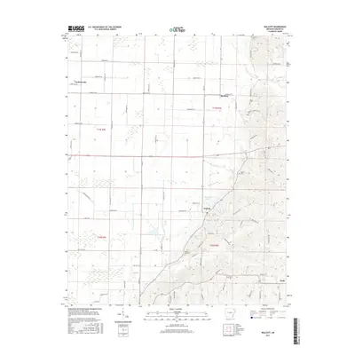
2017 Map of Walcott
USGS Topo · Published 2017About this map
Walcott stands at the transition between the managed wetlands of the St. Francis River basin and the rising topography of Crowley's Ridge. This modern survey illustrates the agricultural land use of Greene County, defined by a network of drainage features like the Main Ditch that allow for cultivation of the flat lowlands to the west. In contrast, the eastern portion of the map reveals the undulating terrain where small settlements like Stanford and Finch are situated among numerous family cemeteries.
Find a feature on this map
73 named features on this map. Tap any name to fly to it.
Don’t see what you’re looking for? This feature index may not catch every label — zoom into the map to look around manually.
Map Details
Editions of this 2017 Walcott Map
This is the sole edition of this map. No revisions or reprints were ever made.
Other maps of this area

1932 · Walnut Ridge
USGS Topo · 1:62,500

1935 · Sedgwick
USGS Topo · 1:62,500

1935 · Walnut Ridge
USGS Topo · 1:62,500

1939 · Jonesboro
USGS Topo · 1:62,500

1940 · Gainesville
USGS Topo · 1:62,500

1953 · Memphis
USGS Topo · 1:250,000

1956 · Memphis
USGS Topo · 1:250,000

1957 · Poplar Bluff
USGS Topo · 1:250,000

1958 · Jonesboro
USGS Topo · 1:62,500

1958 · Gainesville
USGS Topo · 1:62,500