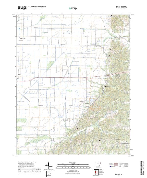
2024 Map of Walcott
USGS Topo · Published 2024About this map
Crowleys Ridge rises above the lowlands of Greene County, creating a distinct geological divide in this corner of Northeast Arkansas. The elevated terrain of the ridge is home to the small settlement of Walcott, while the flatlands to the west are marked by a rigid grid of rural roads and drainage infrastructure like the Main Ditch. This landscape transition has historically dictated local settlement patterns, concentrating burial sites and churches on the higher ground. Genealogists will find a high density of preserved cemeteries along the ridge line, including Morrow Cem, Moore Cem, and Croft Cem. To the north and west, the communities of Stanford, Faulknerville, and Light serve as hubs for the surrounding agricultural tracts. The eastern half of the map is defined by meandering watercourses such as Sugar Creek and Poplar Creek, contrasting sharply with the straight-line channelization found elsewhere in the county.
Find a feature on this map
81 named features on this map. Tap any name to fly to it.
Don’t see what you’re looking for? This feature index may not catch every label — zoom into the map to look around manually.
Map Details
Editions of this 2024 Walcott Map
This is the sole edition of this map. No revisions or reprints were ever made.
Other maps of this area

1932 · Walnut Ridge
USGS Topo · 1:62,500

1935 · Sedgwick
USGS Topo · 1:62,500

1935 · Walnut Ridge
USGS Topo · 1:62,500

1939 · Jonesboro
USGS Topo · 1:62,500

1940 · Gainesville
USGS Topo · 1:62,500

1953 · Memphis
USGS Topo · 1:250,000

1956 · Memphis
USGS Topo · 1:250,000

1957 · Poplar Bluff
USGS Topo · 1:250,000

1958 · Jonesboro
USGS Topo · 1:62,500

1958 · Gainesville
USGS Topo · 1:62,500