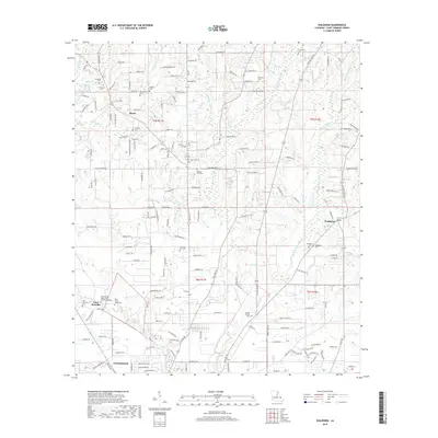
2018 Map of Waldheim
USGS Topo · Published 2018About this map
The Saint Joseph Abbey and Seminary College stands as a significant landmark in this region north of Covington, where the landscape is defined by the branching tributaries of the Bogue Falaya. This survey reveals a high density of small cemeteries scattered throughout the rural pine woods, such as the Fitzgerald Cem, Pilgrim Rest Cem, and the uniquely named Fivemile Still Cem. These sites, along with family-named roads like Willie B Rd and Nelson Rd, provide important clues for genealogists tracking local lineages. The settlement of Waldheim occupies the eastern portion of the map, while Blond sits further west, both connected by a network of rural roads that navigate the many creek forks, including the Little Bogue Falaya and Brushy Fork.
Find a feature on this map
121 named features on this map. Tap any name to fly to it.
Don’t see what you’re looking for? This feature index may not catch every label — zoom into the map to look around manually.
Map Details
Editions of this 2018 Waldheim Map
This is the sole edition of this map. No revisions or reprints were ever made.
Other maps of this area

1935 · Slidell
USGS Topo · 1:62,500

1935 · Covington
USGS Topo · 1:62,500

1939 · Slidell
USGS Topo · 1:62,500

1939 · Zona
USGS Topo · 1:31,680

1939 · Covington
USGS Topo · 1:62,500

1942 · Onville
USGS Topo · 1:31,680

1942 · Waldheim
USGS Topo · 1:31,680

1942 · Talisheek
USGS Topo · 1:31,680

1942 · Rio
USGS Topo · 1:31,680

1950 · Folsom
USGS Topo · 1:31,680