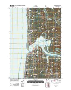
2011 Map of Waldport
USGS Topo · Published 2011About this map
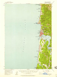
Alsea Bay and the mouth of the Alsea River serve as the central geographic focus of this coastal Oregon survey. The settlement of Waldport anchors the southern shore, where the Waldport Post Office and local infrastructure like the Crestview Hills Golf Course and Lint Slough Reservoir are clearly established. To the north, the community of Bayshore sits on the spit, while further up the Pacific coastline, the map documents smaller seaside locales such as Holly Beach, Sandpiper, and Seal Rock, the latter marked by its distinctive namesake landmark and Elephant Rock.
Find a feature on this map
79 named features on this map. Tap any name to fly to it.
Don’t see what you’re looking for? This feature index may not catch every label — zoom into the map to look around manually.
Map Details
Editions of this 2011 Waldport Map
This is the sole edition of this map. No revisions or reprints were ever made.
Other maps of this area
1922 · Waldport
USGS Topo · 1:62,500
1942 · Waldport
USGS Topo · 1:62,500
1942 · Yaquina
USGS Topo · 1:62,500
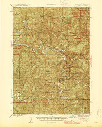
1942 · Tidewater
USGS Topo · 1:62,500
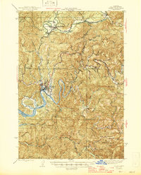
1942 · Toledo
USGS Topo · 1:62,500

1953 · Salem
USGS Topo · 1:250,000

1954 · Salem
USGS Topo · 1:250,000
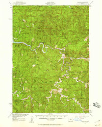
1956 · Tidewater
USGS Topo · 1:62,500
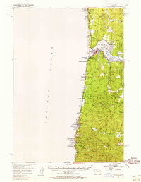
1956 · Waldport
USGS Topo · 1:62,500
1957 · Yaquina
USGS Topo · 1:62,500