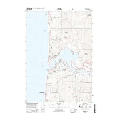
2014 Map of Waldport
USGS Topo · Published 2014About this map
The Alsea Bay serves as the geographic heart of this coastal region, where the Alsea River meets the Pacific Ocean. The city of Waldport is positioned on the southern shore, showing a developed street grid that includes NE Broadway St and SW Range Dr. Just across the water, the residential developments of Bayshore and Bayview occupy the peninsula at Shepards Point, highlighting the mid-century and later expansion of this maritime community.
Find a feature on this map
96 named features on this map. Tap any name to fly to it.
Don’t see what you’re looking for? This feature index may not catch every label — zoom into the map to look around manually.
Map Details
Editions of this 2014 Waldport Map
This is the sole edition of this map. No revisions or reprints were ever made.
Other maps of this area

1922 · Waldport
USGS Topo · 1:62,500

1942 · Waldport
USGS Topo · 1:62,500

1942 · Yaquina
USGS Topo · 1:62,500

1942 · Tidewater
USGS Topo · 1:62,500

1942 · Toledo
USGS Topo · 1:62,500

1953 · Salem
USGS Topo · 1:250,000

1954 · Salem
USGS Topo · 1:250,000

1956 · Tidewater
USGS Topo · 1:62,500

1956 · Waldport
USGS Topo · 1:62,500

1957 · Yaquina
USGS Topo · 1:62,500