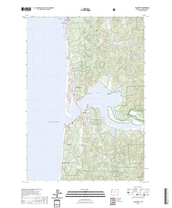
2024 Map of Waldport
USGS Topo · Published 2024About this map
The central Oregon coast meets the estuary of Alsea Bay in this recent record of the Waldport vicinity. The landscape is defined by the sharp transition from the rocky Pacific shoreline, including Seal Rocks and Elephant Rock, to the dense timberlands of the Siuslaw National Forest. Inland, the terrain rises toward Mt Eckman, dissected by numerous drainage systems like Drift Creek and Lint Creek.
Find a feature on this map
86 named features on this map. Tap any name to fly to it.
Don’t see what you’re looking for? This feature index may not catch every label — zoom into the map to look around manually.
Map Details
Editions of this 2024 Waldport Map
This is the sole edition of this map. No revisions or reprints were ever made.
Other maps of this area

1922 · Waldport
USGS Topo · 1:62,500

1942 · Waldport
USGS Topo · 1:62,500

1942 · Yaquina
USGS Topo · 1:62,500

1942 · Tidewater
USGS Topo · 1:62,500

1942 · Toledo
USGS Topo · 1:62,500

1953 · Salem
USGS Topo · 1:250,000

1954 · Salem
USGS Topo · 1:250,000

1956 · Tidewater
USGS Topo · 1:62,500

1956 · Waldport
USGS Topo · 1:62,500

1957 · Yaquina
USGS Topo · 1:62,500