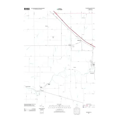
2013 Map of Waldron
USGS Topo · Published 2013About this map
The Flatrock River winds through the southern reaches of this landscape, carving a path past the small communities of Geneva and Germantown. This region is defined by its network of agricultural hamlets and local landmarks, including the namesake town of Waldron and the nearby village of Saint Paul. The presence of small aviation sites like Fischer Field Airport and Whelen Airport suggests a modern rural character, yet the area maintains deep ties to its 19th-century roots with place names like Middletown and Morven. To the west, the landscape is segmented by watercourses such as Lewis Cr and S Fork Lewis Cr, while recreation is centered around Camp Flat Rock and the evocatively named Sleepy Hollow and Pleasure Valley neighborhoods along the river's bend.
Find a feature on this map
99 named features on this map. Tap any name to fly to it.
Don’t see what you’re looking for? This feature index may not catch every label — zoom into the map to look around manually.
Map Details
Editions of this 2013 Waldron Map
This is the sole edition of this map. No revisions or reprints were ever made.
Other maps of this area

1942 · Columbus
USGS Topo · 1:125,000

1947 · Hope
USGS Topo · 1:24,000

1948 · Hope
USGS Topo · 1:24,000

1948 · Lewis Creek
USGS Topo · 1:24,000

1950 · Edinburg
USGS Topo · 1:62,500

1953 · Shelbyville
USGS Topo · 1:24,000

1953 · Cincinnati
USGS Topo · 1:250,000

1956 · Waldron
USGS Topo · 1:24,000

1956 · Rays Crossing
USGS Topo · 1:24,000

1957 · Cincinnati
USGS Topo · 1:250,000