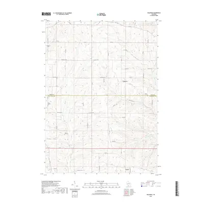
2018 Map of Waldwick
USGS Topo · Published 2018About this map
Waldwick and Fayette anchor this rural landscape along the boundary of Iowa and Lafayette Counties. The drainage patterns of the Yellowstone River and its tributaries, such as Otter Cr, Canon Cr, and Rock Br, dictate the undulating terrain and the placement of the road network. These creeks create a complex system of ridges and valleys that define the local topography.
Find a feature on this map
41 named features on this map. Tap any name to fly to it.
Don’t see what you’re looking for? This feature index may not catch every label — zoom into the map to look around manually.
Map Details
Editions of this 2018 Waldwick Map
This is the sole edition of this map. No revisions or reprints were ever made.
Other maps of this area

1902 · Mineral Point
USGS Topo · 1:125,000

1923 · Blanchardville
USGS Topo · 1:62,500

1923 · South Wayne
USGS Topo · 1:62,500

1952 · Calamine
USGS Topo · 1:24,000

1952 · Mineral Point
USGS Topo · 1:24,000

1952 · Dodgeville
USGS Topo · 1:24,000

1954 · Rockford
USGS Topo · 1:250,000

1955 · Rockford
USGS Topo · 1:250,000

1958 · Rockford
USGS Topo · 1:250,000

1959 · Dubuque
USGS Topo · 1:250,000