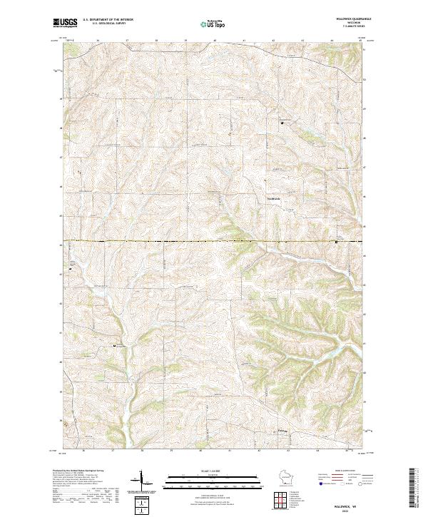
2022 Map of Waldwick
USGS Topo · Published 2022About this map
Waldwick and Fayette anchor this landscape along the border of Iowa and Lafayette counties, where the Yellowstone River and its various tributaries have carved a network of valleys through the terrain. The map reveals a rural economy structured around a grid of county roads and family-named routes such as Ferrell Rd and Gilbertson Rd. Local history and genealogy are preserved in several burial grounds, including Graceland Cem near the river and Willow Springs Cem to the southwest. The presence of Fort Defiance Rd reflects the area's historical transportation corridors, while the numerous branches like Steiner Br and Canon Cr highlight the intricate drainage patterns that have long dictated the placement of farms and small settlements in this portion of Wisconsin.
Find a feature on this map
49 named features on this map. Tap any name to fly to it.
Don’t see what you’re looking for? This feature index may not catch every label — zoom into the map to look around manually.
Map Details
Editions of this 2022 Waldwick Map
This is the sole edition of this map. No revisions or reprints were ever made.
Other maps of this area

1902 · Mineral Point
USGS Topo · 1:125,000

1923 · Blanchardville
USGS Topo · 1:62,500

1923 · South Wayne
USGS Topo · 1:62,500

1952 · Calamine
USGS Topo · 1:24,000

1952 · Mineral Point
USGS Topo · 1:24,000

1952 · Dodgeville
USGS Topo · 1:24,000

1954 · Rockford
USGS Topo · 1:250,000

1955 · Rockford
USGS Topo · 1:250,000

1958 · Rockford
USGS Topo · 1:250,000

1959 · Dubuque
USGS Topo · 1:250,000