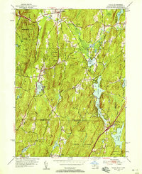
1952 Map of Wales
USGS Topo · Published 1958About this map
Brimfield and the surrounding borderlands of Massachusetts and Connecticut appear here in a post-war revision reflecting a landscape of recreational waters and protected woodlands. The map captures the heart of the Quinebaug River valley, where the Quinebaug River feeds into Holland Pond and the expansive Hamilton Reservoir, a major geographic fixture that spans the southern reaches of the quadrangle. These water bodies, along with smaller features like Lake George and Lost Lake, define the character of the region as a mid-century summer destination, evidenced by the Springfield Boys Camp and Springfield Girls Camp.
Find a feature on this map
56 named features on this map. Tap any name to fly to it.
Don’t see what you’re looking for? This feature index may not catch every label — zoom into the map to look around manually.
Map Details
Editions of this 1952 Wales Map
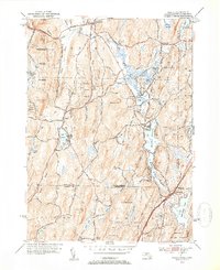
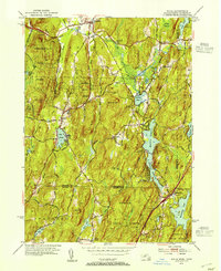
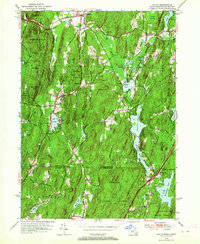
4 editions found
Other maps of this area

1887 · Brookfield
USGS Topo · 1:62,500

1887 · Palmer
USGS Topo · 1:62,500

1889 · Palmer
USGS Topo · 1:62,500

1890 · Brookfield
USGS Topo · 1:62,500

1892 · Woodstock
USGS Topo · 1:62,500

1892 · Tolland
USGS Topo · 1:62,500

1893 · Palmer
USGS Topo · 1:62,500

1893 · Brookfield
USGS Topo · 1:62,500

1908 · Ware
USGS Topo · 1:125,000

1915 · Brookfield
USGS Topo · 1:62,500