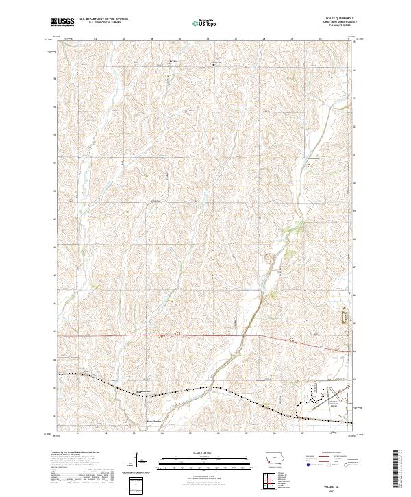
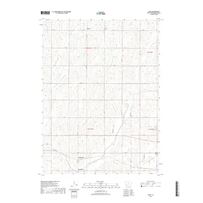
2022 Map of Wales
USGS Topo · Published 2022About this map
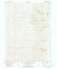
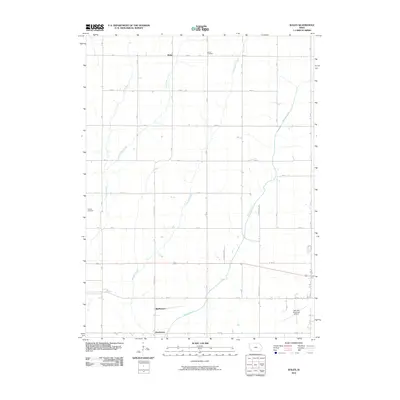
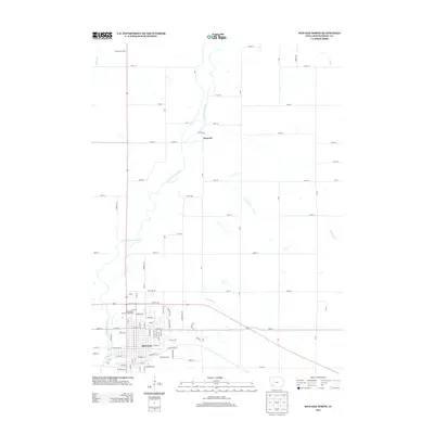
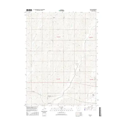
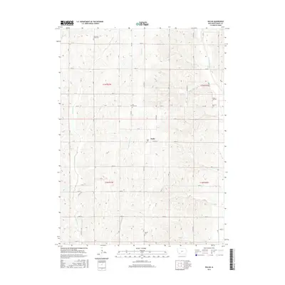
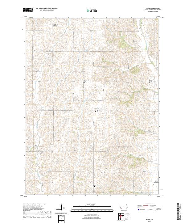
Wales sits at the northern edge of this Montgomery County landscape, a rural community defined by the rolling drainage basins of Walnut Creek and Crabapple Cr. The map details a highly organized agricultural grid, where long-established townships like t73n r39w are bisected by numerous named roads such as Boxelder Ave and Co Hwy M37. In the southern portion of the quadrangle, the clusters of McPherson and Hawthorne appear along the banks of Walnut Creek, illustrating the historical importance of water access for early prairie settlements. Genealogists will find the Gomer Cem near the northern boundary, a quiet landmark situated near the headwaters of Little Indian Cr. The southeast corner transitions toward a more modern infrastructure with the inclusion of the Red Oak Municipal Airport, marking the area's ongoing connection to the wider region through both traditional rural routes and aviation.
Find a feature on this map
38 named features on this map. Tap any name to fly to it.
Don’t see what you’re looking for? This feature index may not catch every label — zoom into the map to look around manually.
Map Details
Editions of this 2022 Wales Map
This is the sole edition of this map. No revisions or reprints were ever made.
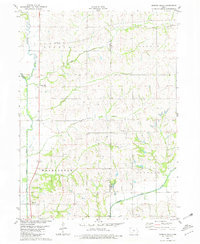
Historical Maps of Wales Through Time
30 maps found
1978 Red Oak North
Montgomery County, IA
1978 Red Oak South
Montgomery County, IA
1978 Wales
Montgomery County, IA
1978 Wallin
Montgomery County, IA
1980 Morton Mills
Montgomery County, IA
2010 Morton Mills
Montgomery County, IA
2010 Red Oak North
Montgomery County, IA
2010 Red Oak South
Montgomery County, IA
2010 Wales
Montgomery County, IA
2010 Wallin
Montgomery County, IA
2013 Morton Mills
Montgomery County, IA
2013 Red Oak North
Montgomery County, IA
2013 Red Oak South
Montgomery County, IA
2013 Wales
Montgomery County, IA
2013 Wallin
Montgomery County, IA
2015 Morton Mills
Montgomery County, IA
2015 Red Oak North
Montgomery County, IA
2015 Red Oak South
Montgomery County, IA
2015 Wales
Montgomery County, IA
2015 Wallin
Montgomery County, IA
2018 Morton Mills
Montgomery County, IA
2018 Red Oak North
Montgomery County, IA
2018 Red Oak South
Montgomery County, IA
2018 Wales
Montgomery County, IA
2018 Wallin
Montgomery County, IA
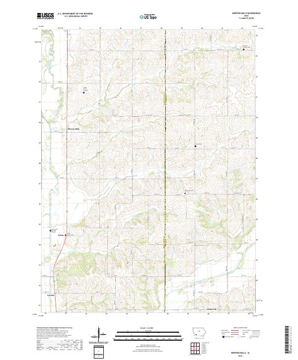
2022 Morton Mills
Montgomery County, IA
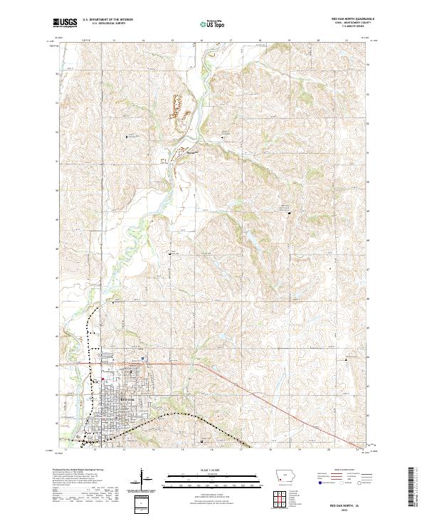
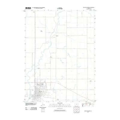
2022 Red Oak North
Montgomery County, IA
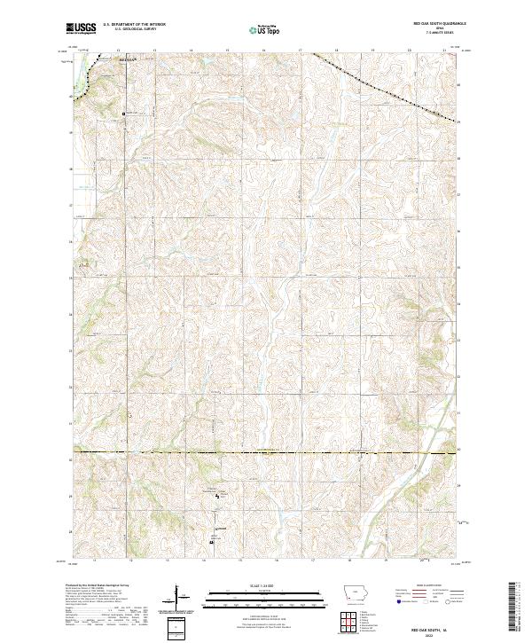
2022 Red Oak South
Montgomery County, IA
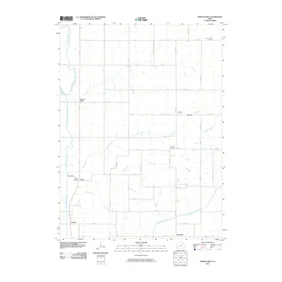
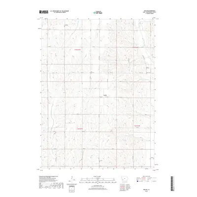
2022 Wales
Montgomery County, IA
2022 Wallin
Montgomery County, IA