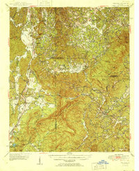
1950 Map of Waleska
USGS Topo · Published 1950About this map
Waleska and the surrounding highland communities of northwest Georgia are defined here by a dense network of mountain ridges and narrow creek valleys. The western corridor is dominated by the Louisville and Nashville railroad and the Old Dixie Highway, which connect the settlements of Fairmount, Rydal, and White. This area reveals a post-war rural landscape where civic life centered on places like Millers Chapel, the Oak Hill School, and the County Home.
Find a feature on this map
79 named features on this map. Tap any name to fly to it.
Don’t see what you’re looking for? This feature index may not catch every label — zoom into the map to look around manually.
Map Details
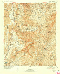
Editions of this 1950 Waleska Map
2 editions found
Other maps of this area

1886 · Dalton
USGS Topo · 1:125,000

1888 · Ellijay
USGS Topo · 1:125,000

1890 · Suwanee
USGS Topo · 1:125,000

1890 · Cartersville
USGS Topo · 1:125,000

1891 · Cartersville
USGS Topo · 1:125,000

1892 · Ellijay
USGS Topo · 1:125,000

1892 · Dalton
USGS Topo · 1:125,000

1894 · Suwanee
USGS Topo · 1:125,000

1896 · Cartersville
USGS Topo · 1:125,000

1897 · Dalton
USGS Topo · 1:125,000