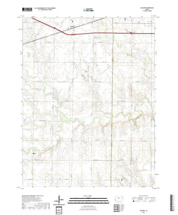
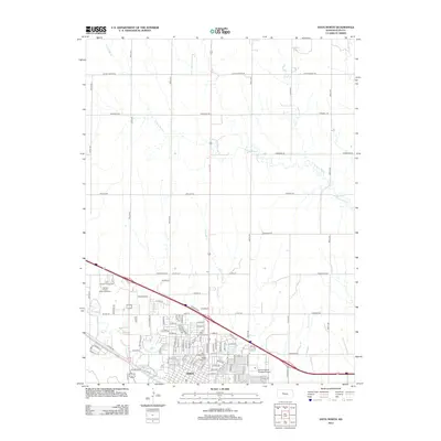
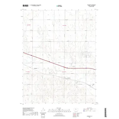
2022 Map of Walker
USGS Topo · Published 2022About this map
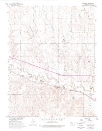
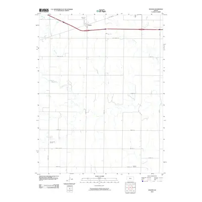
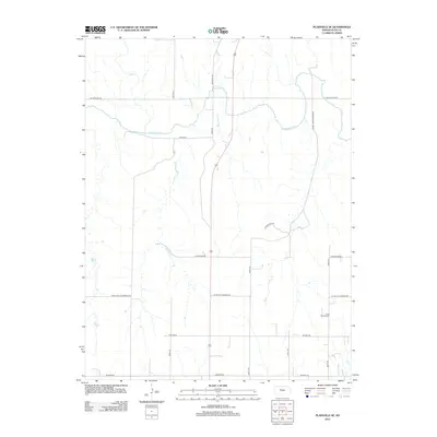
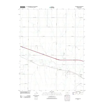
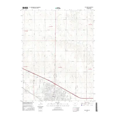
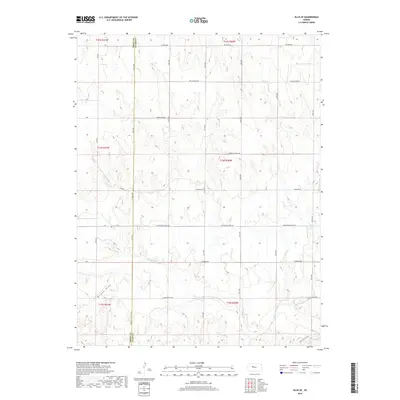
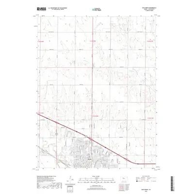
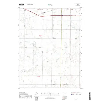
The small settlement of Walker sits along the northern edge of this Ellis County landscape, situated near the intersection of Victoria Rd and Old Hwy 40. This high plains region is defined by the drainage patterns of Big Cr and its tributaries, including N Fork Big Cr and Mud Cr, which carve through the terrain south of the townsite. The infrastructure reflects a deep agricultural and transportation history, with the iconic Butterfield Trail Rd cutting across the central plains, a route that echoes the frontier era of Kansas travel.
Find a feature on this map
46 named features on this map. Tap any name to fly to it.
Don’t see what you’re looking for? This feature index may not catch every label — zoom into the map to look around manually.
Map Details
Editions of this 2022 Walker Map
This is the sole edition of this map. No revisions or reprints were ever made.
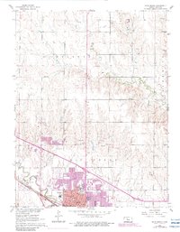
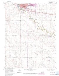
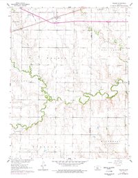
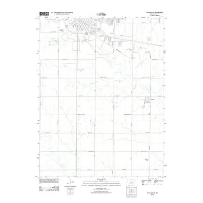
Historical Maps of Walker Through Time
72 maps found

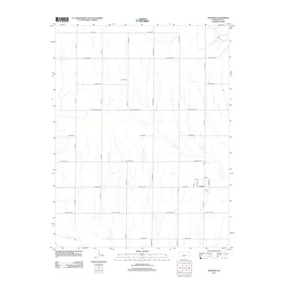
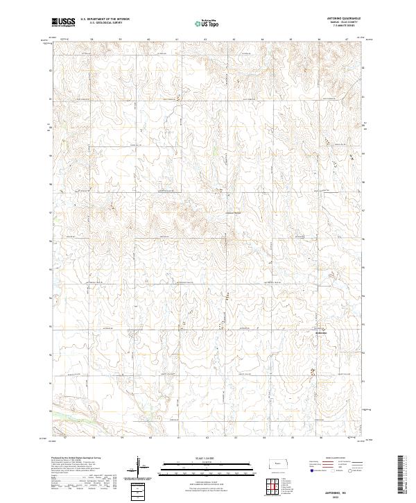
1961 Antonino
Ellis County, KS
1961 Hays North
Ellis County, KS
1961 Hays South
Ellis County, KS
1961 Walker
Ellis County, KS
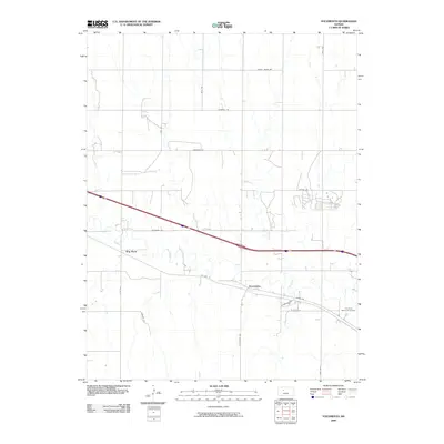
1961 Yocemento
Ellis County, KS

1963 Mouth of Wild Horse Creek
Ellis County, KS

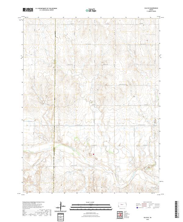
1974 Ellis SE
Ellis County, KS

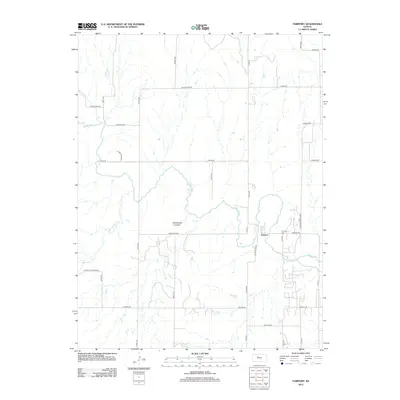
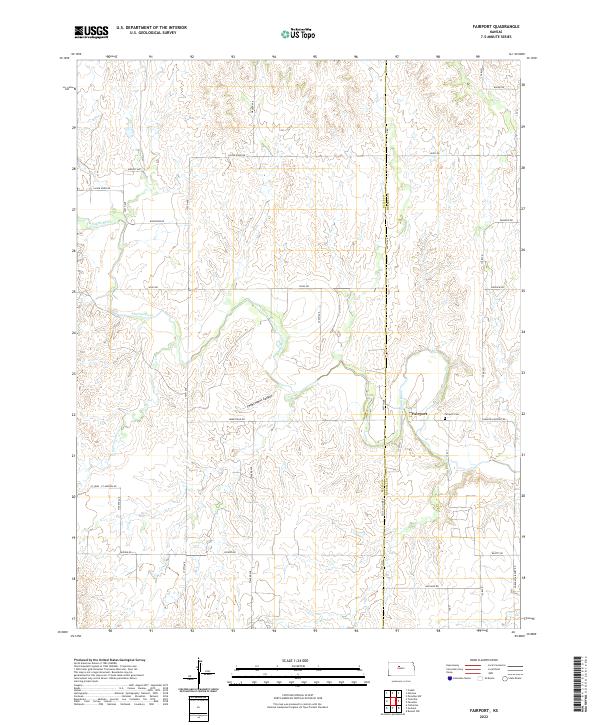
1978 Fairport
Ellis County, KS

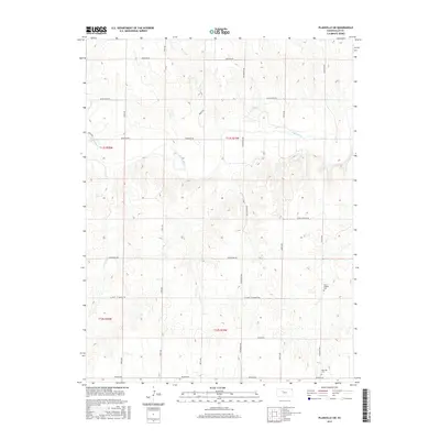
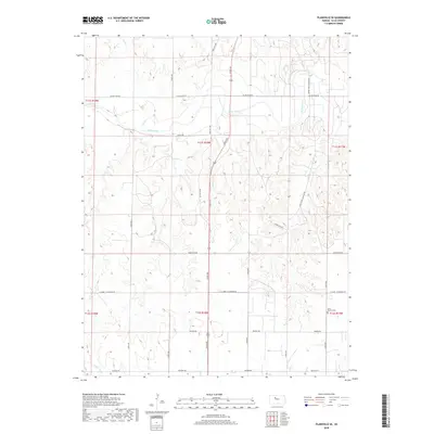
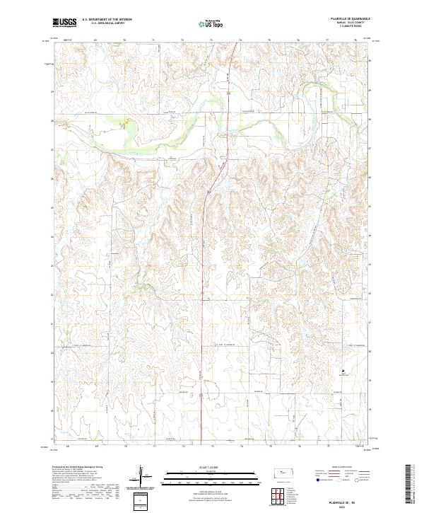
1978 Plainville SE
Ellis County, KS

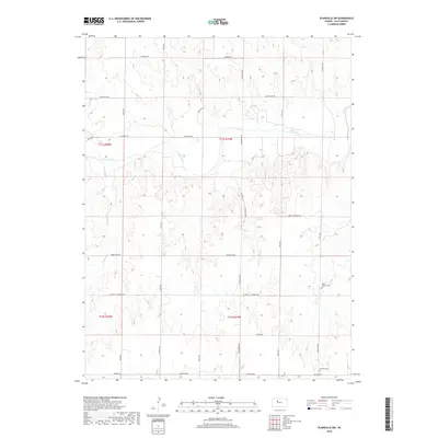
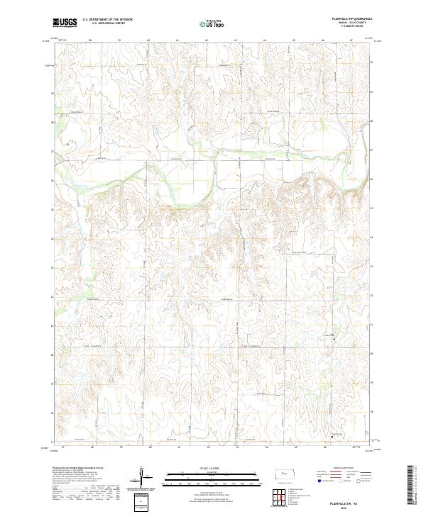
1978 Plainville SW
Ellis County, KS

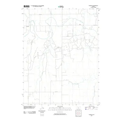
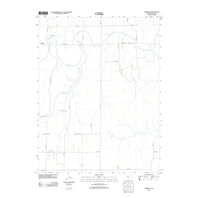
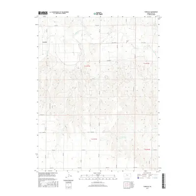
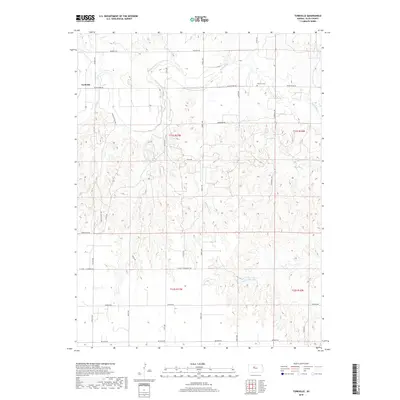
1978 Turkville
Ellis County, KS

1980 Mc Cracken NE
Ellis County, KS
2009 Antonino
Ellis County, KS
2009 Ellis SE
Ellis County, KS
2009 Fairport
Ellis County, KS
2009 McCracken NE
Ellis County, KS
2009 Mouth of Wild Horse Creek
Ellis County, KS
2009 Plainville SE
Ellis County, KS
2009 Plainville SW
Ellis County, KS
2009 Turkville
Ellis County, KS
2009 Yocemento
Ellis County, KS
2010 Hays North
Ellis County, KS
2010 Hays South
Ellis County, KS
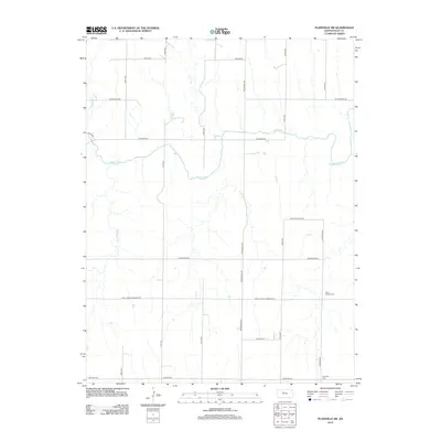
2010 Walker
Ellis County, KS
2012 Antonino
Ellis County, KS
2012 Ellis SE
Ellis County, KS
2012 Fairport
Ellis County, KS
2012 Hays North
Ellis County, KS
2012 Hays South
Ellis County, KS
2012 McCracken NE
Ellis County, KS
2012 Mouth of Wild Horse Creek
Ellis County, KS
2012 Plainville SE
Ellis County, KS
2012 Plainville SW
Ellis County, KS
2012 Turkville
Ellis County, KS
2012 Walker
Ellis County, KS
2012 Yocemento
Ellis County, KS
2015 Antonino
Ellis County, KS
2015 Ellis SE
Ellis County, KS
2015 Fairport
Ellis County, KS
2015 Hays North
Ellis County, KS
2015 Hays South
Ellis County, KS
2015 McCracken NE
Ellis County, KS
2015 Plainville SE
Ellis County, KS
2015 Plainville SW
Ellis County, KS
2015 Turkville
Ellis County, KS
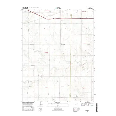
2015 Walker
Ellis County, KS
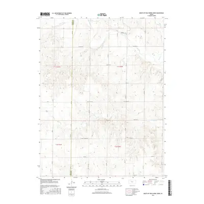
2016 Mouth of Wild Horse Creek
Ellis County, KS
2016 Yocemento
Ellis County, KS
2018 Antonino
Ellis County, KS
2018 Ellis SE
Ellis County, KS
2018 Fairport
Ellis County, KS
2018 Hays North
Ellis County, KS
2018 Hays South
Ellis County, KS
2018 McCracken NE
Ellis County, KS
2018 Mouth of Wild Horse Creek
Ellis County, KS
2018 Plainville SE
Ellis County, KS
2018 Plainville SW
Ellis County, KS
2018 Turkville
Ellis County, KS
2018 Walker
Ellis County, KS
2018 Yocemento
Ellis County, KS
2022 Antonino
Ellis County, KS
2022 Ellis SE
Ellis County, KS
2022 Fairport
Ellis County, KS
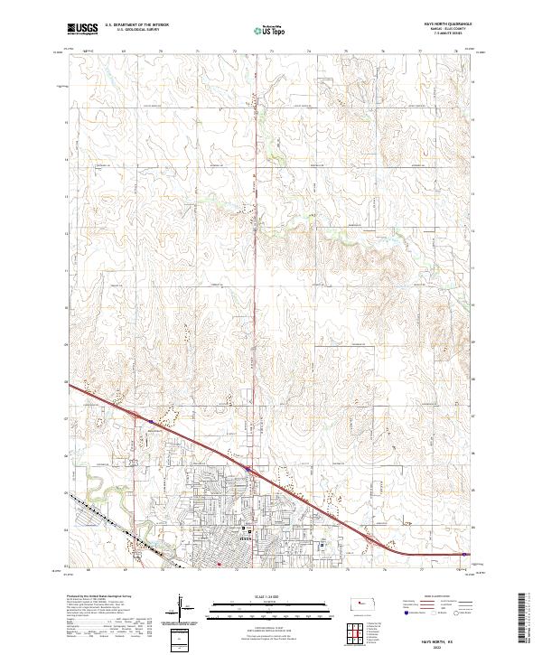
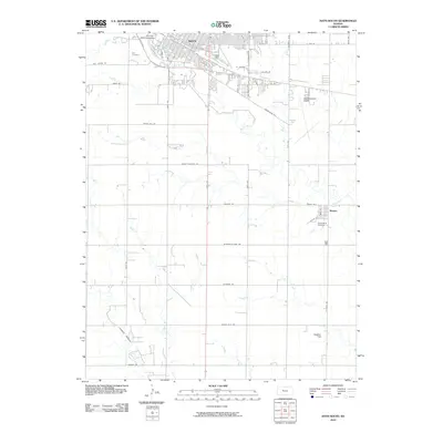
2022 Hays North
Ellis County, KS
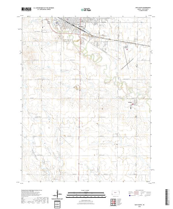
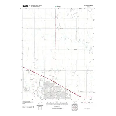
2022 Hays South
Ellis County, KS
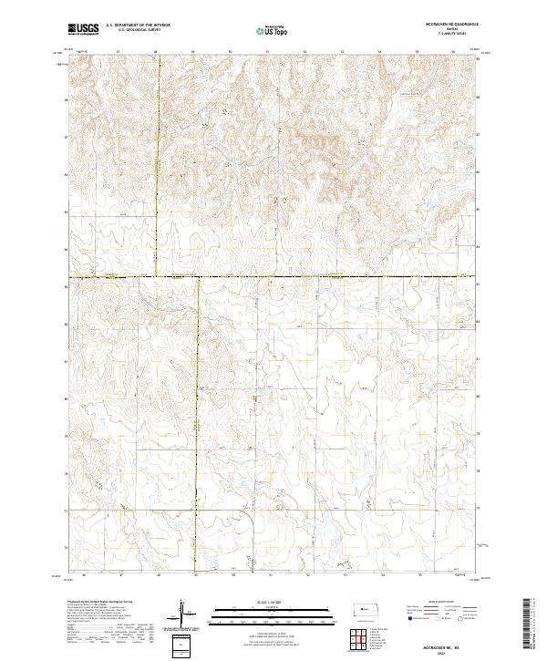
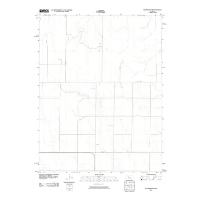
2022 McCracken NE
Ellis County, KS
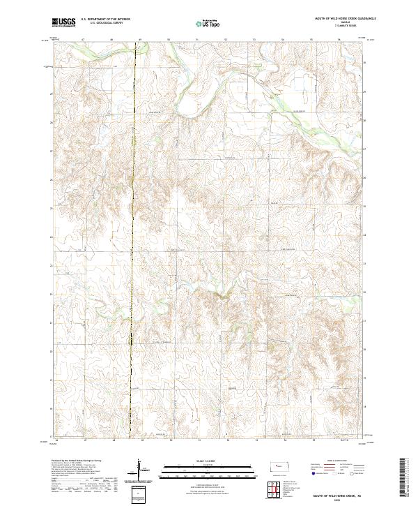
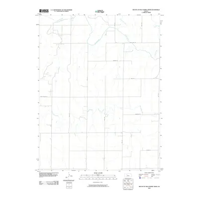
2022 Mouth of Wild Horse Creek
Ellis County, KS
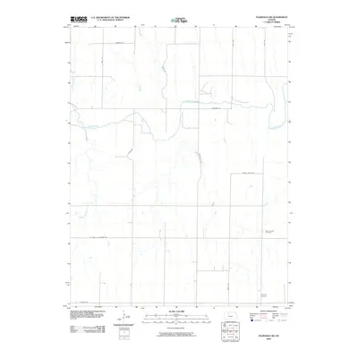
2022 Plainville SE
Ellis County, KS
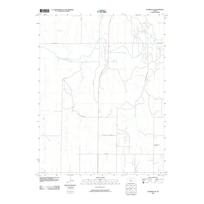
2022 Plainville SW
Ellis County, KS

2022 Turkville
Ellis County, KS
2022 Walker
Ellis County, KS
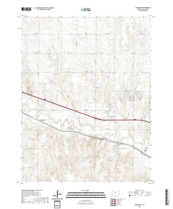
2022 Yocemento
Ellis County, KS