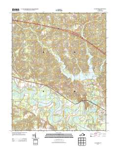
2013 Map of Walkers
USGS Topo · Published 2013About this map
The Chickahominy River winds through this New Kent County landscape, defining the character of the region with its intricate network of necks and islands. The settlement of Lanexa sits at a critical junction near the Diascund Bridge, where the river's path is augmented by the Diascund Reservoir. This 2013 survey illustrates a transition from the historic river landings to modern recreational and residential developments such as Chickahominy Shores and the Colonial Harbor Marina.
Find a feature on this map
31 named features on this map. Tap any name to fly to it.
Don’t see what you’re looking for? This feature index may not catch every label — zoom into the map to look around manually.
Map Details
Editions of this 2013 Walkers Map
This is the sole edition of this map. No revisions or reprints were ever made.
Other maps of this area

1917 · Toano
USGS Topo · 1:62,500

1918 · Charles City
USGS Topo · 1:62,500

1918 · Toano
USGS Topo · 1:62,500

1919 · New Kent
USGS Topo · 1:62,500

1920 · King William
USGS Topo · 1:62,500

1943 · Richmond
USGS Topo · 1:250,000

1949 · Tunstall
USGS Topo · 1:24,000

1949 · New Kent
USGS Topo · 1:24,000

1949 · Richmond
USGS Topo · 1:250,000

1950 · West Point
USGS Topo · 1:24,000