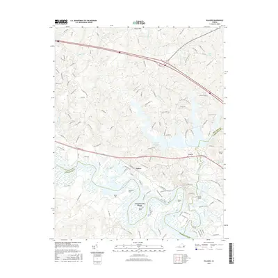
2016 Map of Walkers
USGS Topo · Published 2016About this map
Lanexa and the surrounding riverfront settlements of New Kent County are defined by the winding course of the Chickahominy River as it meets the borders of Charles City and James City counties. This 2016 survey highlights the intricate peninsula topography of the region, including Matahunk Neck, Wilcox Neck, and Turner Neck, which reach into the river's broad channel. The landscape is a transition between the managed waters of the Diascund Reservoir and the expansive wetlands of Timber Swamp and Big Swamp. Small inland communities such as Walkers and Slaterville are connected by historical thoroughfares like Pocahontas Trl, while the river's edge is dotted with specific landmarks like Binns Bar and Diascund Bridge. This record illustrates how modern residential developments such as Chickahominy Shores have integrated into the old agricultural and timber-rich tidewater geography of Virginia.
Find a feature on this map
123 named features on this map. Tap any name to fly to it.
Don’t see what you’re looking for? This feature index may not catch every label — zoom into the map to look around manually.
Map Details
Editions of this 2016 Walkers Map
This is the sole edition of this map. No revisions or reprints were ever made.
Other maps of this area

1917 · Toano
USGS Topo · 1:62,500

1918 · Charles City
USGS Topo · 1:62,500

1918 · Toano
USGS Topo · 1:62,500

1919 · New Kent
USGS Topo · 1:62,500

1920 · King William
USGS Topo · 1:62,500

1943 · Richmond
USGS Topo · 1:250,000

1949 · Tunstall
USGS Topo · 1:24,000

1949 · New Kent
USGS Topo · 1:24,000

1949 · Richmond
USGS Topo · 1:250,000

1950 · West Point
USGS Topo · 1:24,000