Loading...
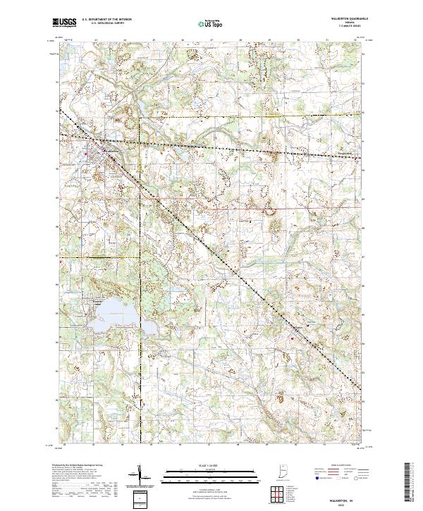
Loading map...2022 Map of Walkerton
USGS Topo · Published 2022About this map
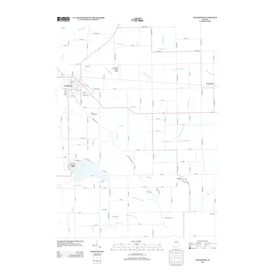
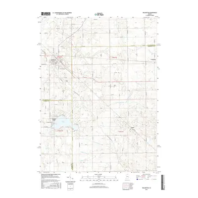
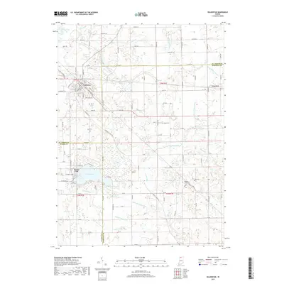
Walkerton serves as the primary hub in this northern Indiana landscape, where the convergence of St. Joseph and Marshall County lines meets the local rail and road corridors. The township is characterized by an intricate network of agricultural drainage systems, including the Lawrence Pontius Ditch, Angeline Lemert Ditch, and Jesse McKesson Ditch, which manage the low-lying terrain surrounding Yellow Bank Creek and Pine Creek.
Find a feature on this map
120 named features on this map. Tap any name to fly to it.
Don’t see what you’re looking for? This feature index may not catch every label — zoom into the map to look around manually.
Map Details
Date Portrayed2022
Date Published2022
PublisherU.S. Geological Survey
Map TypeTopographic
Scale1:24,000
Physical Dimensions24 x 29 inches
Editions of this 2022 Walkerton Map
This is the sole edition of this map. No revisions or reprints were ever made.
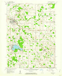
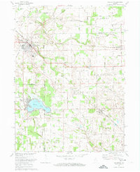
Historical Maps of Walkerton Through Time
7 maps found
Featured Locations
Source Details
SourceU.S. Geological Survey
CopyrightPublic Domain