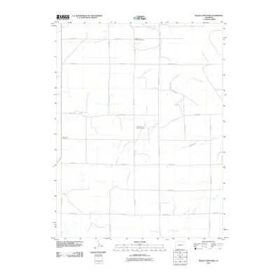
2010 Map of Walks Camp Park
USGS Topo · Published 2010About this map
The North Fork Arikaree River and the main branch of the Arikaree River define the northern and central hydrology of this Lincoln County landscape. The area is marked by a strict grid of county roads, including County Rd-26 and County Rd-3Y, which weave through the high plains terrain. This 2010 survey highlights several key cultural sites, notably the Walks Camp Lutheran Cemetery and the Walks Camp Cemetery, providing essential data for genealogists tracing early families in this part of Colorado. Aviation history is noted by the Thompson Landing Strip, while the southern reaches of the map are drained by Currie Creek and Lickdab Creek. The distribution of these features reveals a rural economy centered on a precise network of arterial roads and local waterways.
Find a feature on this map
23 named features on this map. Tap any name to fly to it.
Don’t see what you’re looking for? This feature index may not catch every label — zoom into the map to look around manually.
Map Details
Editions of this 2010 Walks Camp Park Map
This is the sole edition of this map. No revisions or reprints were ever made.
Other maps of this area

1891 · Limon
USGS Topo · 1:125,000

1892 · Limon
USGS Topo · 1:125,000

1954 · Limon
USGS Topo · 1:250,000

1957 · Limon
USGS Topo · 1:250,000

1958 · Limon
USGS Topo · 1:250,000

1970 · Limon
USGS Topo · 1:24,000

1970 · T Draw
USGS Topo · 1:24,000

1973 · Last Chance SW
USGS Topo · 1:24,000

1973 · Lusto Springs
USGS Topo · 1:24,000

1973 · Lindon SW
USGS Topo · 1:24,000