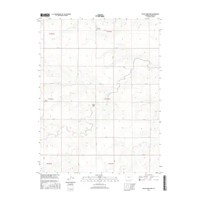
2016 Map of Walks Camp Park
USGS Topo · Published 2016About this map
Walks Camp Park defines the central character of this Lincoln County landscape, situated where the high plains meet the intricate drainages of the Arikaree River system. The terrain is marked by the seasonal flow of the North Fork Arikaree River and smaller tributaries like Currie Cr and Lickdab Cr, which have carved subtle valleys into the surrounding plateau. A long-standing community footprint is evident in the presence of the Walks Camp Lutheran Cem to the north and the Walks Camp Cem to the west, serving as vital touchstones for local genealogical research and family history. This 2016 survey illustrates the persistent rural grid of county roads, such as Co RD 27 and Co RD 3y, which navigate the rises and falls of the watershed. The map records a sparsely populated region where the environment and historical burial sites remain the primary landmarks of the territory.
Find a feature on this map
27 named features on this map. Tap any name to fly to it.
Don’t see what you’re looking for? This feature index may not catch every label — zoom into the map to look around manually.
Map Details
Editions of this 2016 Walks Camp Park Map
This is the sole edition of this map. No revisions or reprints were ever made.
Other maps of this area

1891 · Limon
USGS Topo · 1:125,000

1892 · Limon
USGS Topo · 1:125,000

1954 · Limon
USGS Topo · 1:250,000

1957 · Limon
USGS Topo · 1:250,000

1958 · Limon
USGS Topo · 1:250,000

1970 · Limon
USGS Topo · 1:24,000

1970 · T Draw
USGS Topo · 1:24,000

1973 · Last Chance SW
USGS Topo · 1:24,000

1973 · Lusto Springs
USGS Topo · 1:24,000

1973 · Lindon SW
USGS Topo · 1:24,000