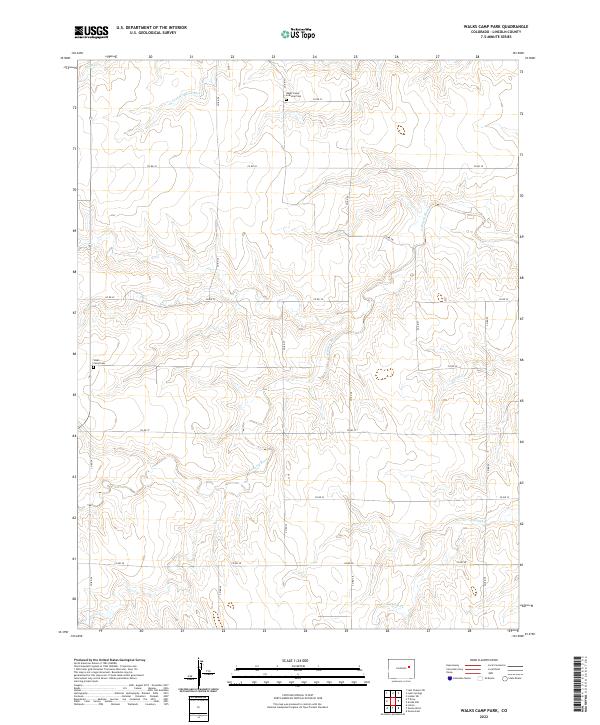
2022 Map of Walks Camp Park
USGS Topo · Published 2022About this map
Arikaree River and its multiple tributaries, including Currie Cr and Lickdab Cr, dominate this section of the High Plains in eastern Lincoln County. The landscape is structured by a rigid grid of county roads, such as Co RD 3y and Co RD 3u, which partition the drainage basins of the N Fork Arikaree River and Vega Cr. For those tracing local heritage, the map identifies two significant burial sites: Walks Camp Lutheran Cem and the nearby Walks Camp Cem. These features, alongside the township and range boundaries of t7s r55w and its neighbors, reflect a long-standing pattern of prairie settlement and agricultural organization that persists into the early 21st century.
Find a feature on this map
20 named features on this map. Tap any name to fly to it.
Don’t see what you’re looking for? This feature index may not catch every label — zoom into the map to look around manually.
Map Details
Editions of this 2022 Walks Camp Park Map
This is the sole edition of this map. No revisions or reprints were ever made.
Other maps of this area

1891 · Limon
USGS Topo · 1:125,000

1892 · Limon
USGS Topo · 1:125,000

1954 · Limon
USGS Topo · 1:250,000

1957 · Limon
USGS Topo · 1:250,000

1958 · Limon
USGS Topo · 1:250,000

1970 · Limon
USGS Topo · 1:24,000

1970 · T Draw
USGS Topo · 1:24,000

1973 · Last Chance SW
USGS Topo · 1:24,000

1973 · Lusto Springs
USGS Topo · 1:24,000

1973 · Lindon SW
USGS Topo · 1:24,000