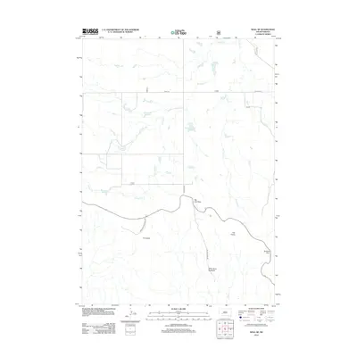
2012 Map of Wall SE
USGS Topo · Published 2012About this map
Badlands National Park dominates the southern reaches of this landscape, revealing the intricate drainage patterns and geological formations characteristic of the White River Badlands. The map details a transition from the structured grid of rural roads like 245th St in the north to the complex terrain of the park interior. Key passage points such as Big Foot Pass and Norbeck Pass indicate established routes through the serrated ridges, while the striking formation known as The Castle stands as a primary landmark in the southeast. Water management for this arid environment is evident through the presence of the Missile 249 Reservoir and Big Foot Pass Reservoir, which capture runoff from seasonal drainages like Kimball Cr and Big Foot Cr. This survey provides a precise view of the interface between ranching infrastructure and the protected wilderness of the South Dakota badlands.
Find a feature on this map
13 named features on this map. Tap any name to fly to it.
Don’t see what you’re looking for? This feature index may not catch every label — zoom into the map to look around manually.
Map Details
Editions of this 2012 Wall SE Map
This is the sole edition of this map. No revisions or reprints were ever made.
Other maps of this area

1950 · Conata
USGS Topo · 1:24,000

1950 · Interior
USGS Topo · 1:24,000

1952 · Conata NE
USGS Topo · 1:24,000

1952 · Conata
USGS Topo · 1:24,000

1955 · Hot Springs
USGS Topo · 1:250,000

1955 · Martin
USGS Topo · 1:250,000

1958 · Martin
USGS Topo · 1:250,000

1960 · Wall SE
USGS Topo · 1:24,000

1960 · Wall
USGS Topo · 1:24,000

1960 · Cottonwood SW
USGS Topo · 1:24,000