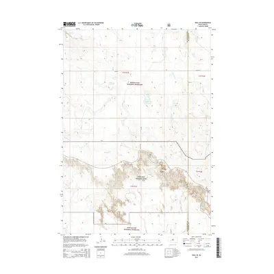
2015 Map of Wall SE
USGS Topo · Published 2015About this map
Badlands National Park dominates the southern landscape of this 2015 quadrangle, showcasing the sharp transition from the rolling prairie of the Buffalo Gap National Grassland to the intricate, eroded terrain of the interior. The topographic detail highlights prominent landmarks such as The Castle and the sharp gap of Norbeck Pass. This area, situated along the Pennington Co and Jackson Co boundary, contains remnants of Cold War infrastructure, specifically the Missile 249 Reservoir, which indicates the land's dual use for ranching and strategic defense. Natural drainage is carved out by Kimball Cr and Big Foot Cr, which flow through the grassland before meeting the rugged obstacles of the badlands. Navigational points like Big Foot Pass provide the primary transit corridors through this complex geological formation.
Find a feature on this map
15 named features on this map. Tap any name to fly to it.
Don’t see what you’re looking for? This feature index may not catch every label — zoom into the map to look around manually.
Map Details
Editions of this 2015 Wall SE Map
This is the sole edition of this map. No revisions or reprints were ever made.
Other maps of this area

1950 · Conata
USGS Topo · 1:24,000

1950 · Interior
USGS Topo · 1:24,000

1952 · Conata NE
USGS Topo · 1:24,000

1952 · Conata
USGS Topo · 1:24,000

1955 · Hot Springs
USGS Topo · 1:250,000

1955 · Martin
USGS Topo · 1:250,000

1958 · Martin
USGS Topo · 1:250,000

1960 · Wall SE
USGS Topo · 1:24,000

1960 · Wall
USGS Topo · 1:24,000

1960 · Cottonwood SW
USGS Topo · 1:24,000