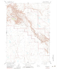
1960 Map of Wall SW
USGS Topo · Published 1983About this map
The sharp escarpments of the Badlands National Monument dominate this landscape, revealing a stark contrast between high plateaus and the low-lying Conata Basin. Surveyed in the mid-20th century as part of the Missouri River Basin development program, the map illustrates the geological transitions through the Sage Creek Wilderness Area. To the north, The Pinnacles provide a jagged skyline near Dillon Pass, a natural gateway through the wall. Human presence is sparse, centered on the Dillon Campground, while the rest of the terrain is defined by isolated landmarks like Flat Top Butte and Castle Butte. This 1960 survey, photoinspected later in the 1970s, documents the area before significant changes in infrastructure, preserving the look of this South Dakota wilderness at mid-century.
Find a feature on this map
9 named features on this map. Tap any name to fly to it.
Don’t see what you’re looking for? This feature index may not catch every label — zoom into the map to look around manually.
Map Details
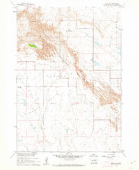
Editions of this 1960 Wall SW Map
2 editions found
Other maps of this area

1950 · Conata
USGS Topo · 1:24,000

1950 · Bouquet Table
USGS Topo · 1:24,000

1952 · Conata NE
USGS Topo · 1:24,000

1952 · Bouquet Table
USGS Topo · 1:24,000

1952 · Conata
USGS Topo · 1:24,000

1955 · Hot Springs
USGS Topo · 1:250,000

1960 · Quinn Table NE
USGS Topo · 1:24,000

1960 · Wall SE
USGS Topo · 1:24,000

1960 · Wall
USGS Topo · 1:24,000

1960 · Quinn Table SE
USGS Topo · 1:24,000