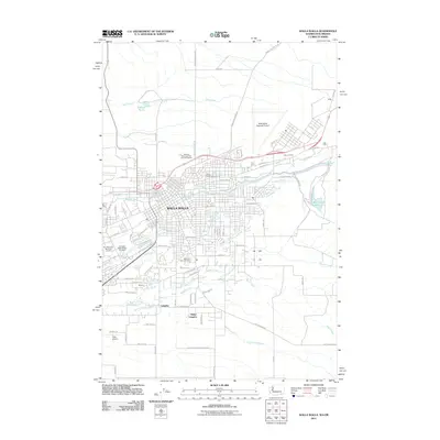
2011 Map of Walla Walla
USGS Topo · Published 2011About this map
Walla Walla serves as the focal point of this 2011 survey, showing the city's dense street grid and its expansion into the surrounding agricultural landscape. The map captures a complex network of waterways, including the winding Mill Creek and Yellowhawk Creek, which define the local drainage patterns and land use. To the west, the Fort Walla Walla Military Cemetery and Mountain View Cemetery provide significant points of interest for genealogists and local historians, while the Colville Indian Reservation boundary occupies the southern portion of the sheet. The transition from urban center to rural outskirts is marked by named locales such as Baker-Langdon and Whitney, alongside the infrastructure of the Walla Walla Regional Airport. Historical transit corridors like the Dalles Military Rd remain visible, anchoring the modern landscape to its 19th-century frontier roots.
Find a feature on this map
69 named features on this map. Tap any name to fly to it.
Don’t see what you’re looking for? This feature index may not catch every label — zoom into the map to look around manually.
Map Details
Editions of this 2011 Walla Walla Map
This is the sole edition of this map. No revisions or reprints were ever made.
Other maps of this area

1919 · Walla Walla
USGS Topo · 1:125,000

1921 · Walla Walla
USGS Topo · 1:125,000

1953 · Pendleton
USGS Topo · 1:250,000

1953 · Walla Walla
USGS Topo · 1:250,000

1956 · Pendleton
USGS Topo · 1:250,000

1958 · Walla Walla
USGS Topo · 1:250,000

1963 · Peterson Ridge
USGS Topo · 1:24,000

1964 · Milton-Freewater
USGS Topo · 1:24,000

1964 · Bowlus Hill
USGS Topo · 1:24,000

1966 · Dixie
USGS Topo · 1:24,000