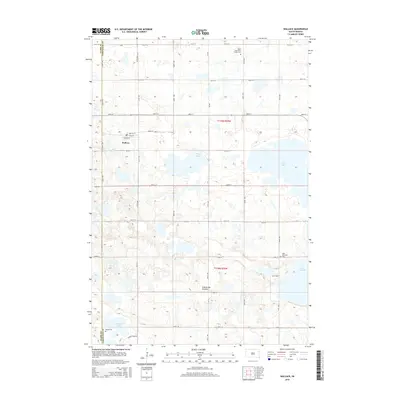
2015 Map of Wallace
USGS Topo · Published 2015About this map
Wallace serves as the primary settlement in this portion of Codington County, situated upon the glacial highlands of the Coteau des Prairies. The landscape is defined by its numerous prairie potholes and larger water bodies, including Kings Lake, Grass Lake, and Lake Nicholson. This 2015 survey reveals a traditional township-and-range grid system with roads like 158th St and 440th Ave facilitating travel between small family burial grounds and farms. Local history is anchored by several distinct cemeteries, such as the Soren Hjermstad Family Cem in the north and the Phipps Cem near Warner Lake to the south. These markers provide critical clues for genealogists tracking family lineages within the prairie landscape of eastern South Dakota.
Find a feature on this map
34 named features on this map. Tap any name to fly to it.
Don’t see what you’re looking for? This feature index may not catch every label — zoom into the map to look around manually.
Map Details
Editions of this 2015 Wallace Map
This is the sole edition of this map. No revisions or reprints were ever made.
Other maps of this area

1953 · Milbank
USGS Topo · 1:250,000

1953 · Watertown
USGS Topo · 1:250,000

1958 · Milbank
USGS Topo · 1:250,000

1958 · Watertown
USGS Topo · 1:250,000

1970 · Florence NE
USGS Topo · 1:24,000

1973 · Florence
USGS Topo · 1:24,000

1973 · Swan Lake
USGS Topo · 1:24,000

1973 · Florence NW
USGS Topo · 1:24,000

1973 · Wallace
USGS Topo · 1:24,000

1973 · Heggs Lake
USGS Topo · 1:24,000