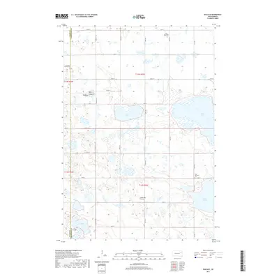
2017 Map of Wallace
USGS Topo · Published 2017About this map
Wallace stands at the heart of this landscape on the eastern edge of the Coteau des Prairies, an elevated plateau region defined by its distinct glacial topography. The settlement is laid out along a traditional grid with streets such as Main St, Shannon St, and Wallace Ave, serving the surrounding agricultural community. The terrain is densely pocketed with small lakes and wetlands, including Kings Lake, Grass Lake, Lake Nicholson, and Warner Lake, which dominate the hydrology of Eden Township.
Find a feature on this map
29 named features on this map. Tap any name to fly to it.
Don’t see what you’re looking for? This feature index may not catch every label — zoom into the map to look around manually.
Map Details
Editions of this 2017 Wallace Map
This is the sole edition of this map. No revisions or reprints were ever made.
Other maps of this area

1953 · Milbank
USGS Topo · 1:250,000

1953 · Watertown
USGS Topo · 1:250,000

1958 · Milbank
USGS Topo · 1:250,000

1958 · Watertown
USGS Topo · 1:250,000

1970 · Florence NE
USGS Topo · 1:24,000

1973 · Florence
USGS Topo · 1:24,000

1973 · Swan Lake
USGS Topo · 1:24,000

1973 · Florence NW
USGS Topo · 1:24,000

1973 · Wallace
USGS Topo · 1:24,000

1973 · Heggs Lake
USGS Topo · 1:24,000