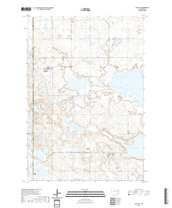
2021 Map of Wallace
USGS Topo · Published 2021About this map
Wallace serves as the primary settlement in this portion of the Coteau des Prairies, a vast plateau rising above the surrounding plains. The town is structured around a central grid including Main St, Shannon St, and Center St. The landscape is dominated by glacial depressions and wetlands characteristic of this geologically distinct region, with significant water bodies such as Kings Lake, Grass Lake, and Lake Nicholson defining the terrain east of the town site.
Find a feature on this map
28 named features on this map. Tap any name to fly to it.
Don’t see what you’re looking for? This feature index may not catch every label — zoom into the map to look around manually.
Map Details
Editions of this 2021 Wallace Map
This is the sole edition of this map. No revisions or reprints were ever made.
Other maps of this area
1953 · Milbank
USGS Topo · 1:250,000

1953 · Watertown
USGS Topo · 1:250,000
1958 · Milbank
USGS Topo · 1:250,000
1958 · Watertown
USGS Topo · 1:250,000
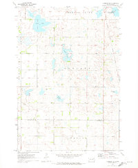
1970 · Florence NE
USGS Topo · 1:24,000
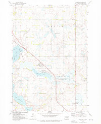
1973 · Florence
USGS Topo · 1:24,000
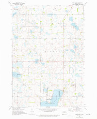
1973 · Swan Lake
USGS Topo · 1:24,000
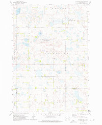
1973 · Florence NW
USGS Topo · 1:24,000
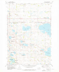
1973 · Wallace
USGS Topo · 1:24,000
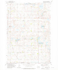
1973 · Heggs Lake
USGS Topo · 1:24,000