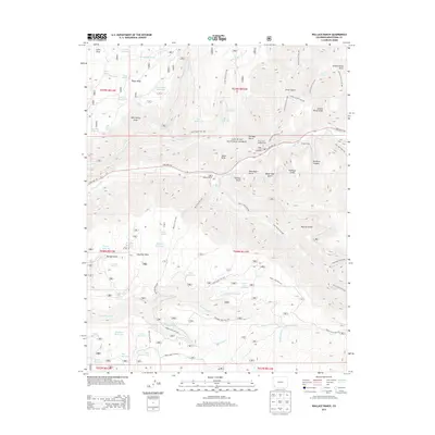
2013 Map of Wallace Ranch
USGS Topo · Published 2013About this map
The Dolores River carves through this high-altitude landscape of Montezuma County, where water management and ranching define the land use within the San Juan National Forest. A complex network of irrigation and storage is evident, featuring numerous named catchments such as Taylor Mesa Reservoir, Bauer Reservoir, and Spring Cr Point Reservoir. These systems support local operations like the namesake Wallace Ranch and Circle K Ranch, while the Turkey Cr Ditch underscores the historical importance of water rights in this arid region.
Find a feature on this map
80 named features on this map. Tap any name to fly to it.
Don’t see what you’re looking for? This feature index may not catch every label — zoom into the map to look around manually.
Map Details
Editions of this 2013 Wallace Ranch Map
This is the sole edition of this map. No revisions or reprints were ever made.
Other maps of this area

1895 · La Plata
USGS Topo · 1:62,500

1897 · La Plata
USGS Topo · 1:62,500

1897 · Rico
USGS Topo · 1:62,500

1898 · Rico
USGS Topo · 1:62,500

1899 · La Plata
USGS Topo · 1:62,500

1899 · Rico
USGS Topo · 1:62,500

1908 · La Plata
USGS Topo · 1:62,500

1956 · Cortez
USGS Topo · 1:250,000

1958 · Cortez
USGS Topo · 1:250,000

1959 · Cortez
USGS Topo · 1:250,000