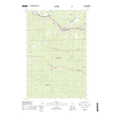
2020 Map of Wallace
USGS Topo · Published 2020About this map
Wallace serves as the focal point of this 2020 Shoshone County survey, situated where Ninemile Cr meets the S Fork Coeur d'Alene River. The town’s history as a regional hub is evident in the dense street grid including Bank St and High St, and the presence of the Courthouse. To the north, the corridor following the Trail Of The Coeur d'Alene's connects settlements like Osburn, Silverton, and Woodland Park. This narrow valley floor contrasts sharply with the surrounding terrain of the Coeur d'Alene National Forest.
Find a feature on this map
88 named features on this map. Tap any name to fly to it.
Don’t see what you’re looking for? This feature index may not catch every label — zoom into the map to look around manually.
Map Details
Editions of this 2020 Wallace Map
This is the sole edition of this map. No revisions or reprints were ever made.
Other maps of this area
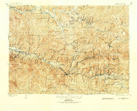
1901 · Coeur D'Alene District
USGS Topo · 1:62,500
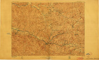
1903 · Coeur D'Alene District
USGS Topo · 1:62,500
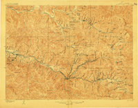
1906 · Coeur D'Alene District
USGS Topo · 1:62,500
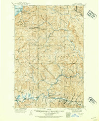
1909 · Cataldo
USGS Topo · 1:125,000
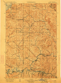
1911 · Cataldo
USGS Topo · 1:125,000
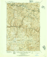
1914 · Avery
USGS Topo · 1:125,000
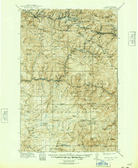
1917 · Avery
USGS Topo · 1:125,000
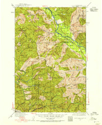
1932 · Trout Creek
USGS Topo · 1:125,000
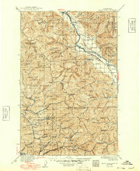
1935 · Trout Creek
USGS Topo · 1:125,000
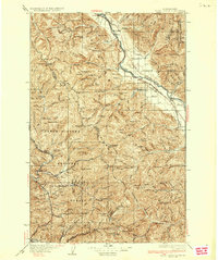
1936 · Trout Creek
USGS Topo · 1:125,000