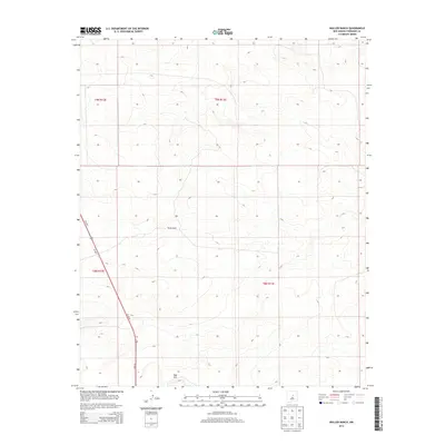
2013 Map of Waller Ranch
USGS Topo · Published 2013About this map
Waller Ranch sits at the center of this 2013 survey of Torrance County, New Mexico, marking a specific point of habitation in a landscape defined by its open high-desert character. The terrain is notably marked by Red Hill in the southern portion of the quadrangle, where elevations fluctuate around the 6,800-foot mark. This map documents the rural infrastructure of the early 21st century, focusing on the transit corridor formed by Us-285 N and Us-285 S as they cut through the western townships. The grid layout of the Public Land Survey System, including t9n r13e and t8n r12e, illustrates the enduring structure of western land divisions and ranching boundaries in this part of New Mexico.
Find a feature on this map
8 named features on this map. Tap any name to fly to it.
Don’t see what you’re looking for? This feature index may not catch every label — zoom into the map to look around manually.
Map Details
Editions of this 2013 Waller Ranch Map
This is the sole edition of this map. No revisions or reprints were ever made.
Other maps of this area

1890 · Bernal
USGS Topo · 1:125,000

1891 · Bernal
USGS Topo · 1:125,000

1894 · Bernal
USGS Topo · 1:125,000

1894 · Lamy
USGS Topo · 1:125,000

1954 · Santa Fe
USGS Topo · 1:250,000

1954 · Fort Sumner
USGS Topo · 1:250,000

1958 · Fort Sumner
USGS Topo · 1:250,000

1958 · Santa Fe
USGS Topo · 1:250,000

1963 · Jacinto Mesa
USGS Topo · 1:24,000
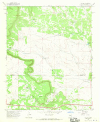
1966 · El Cabo
USGS Topo · 1:24,000